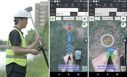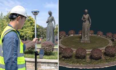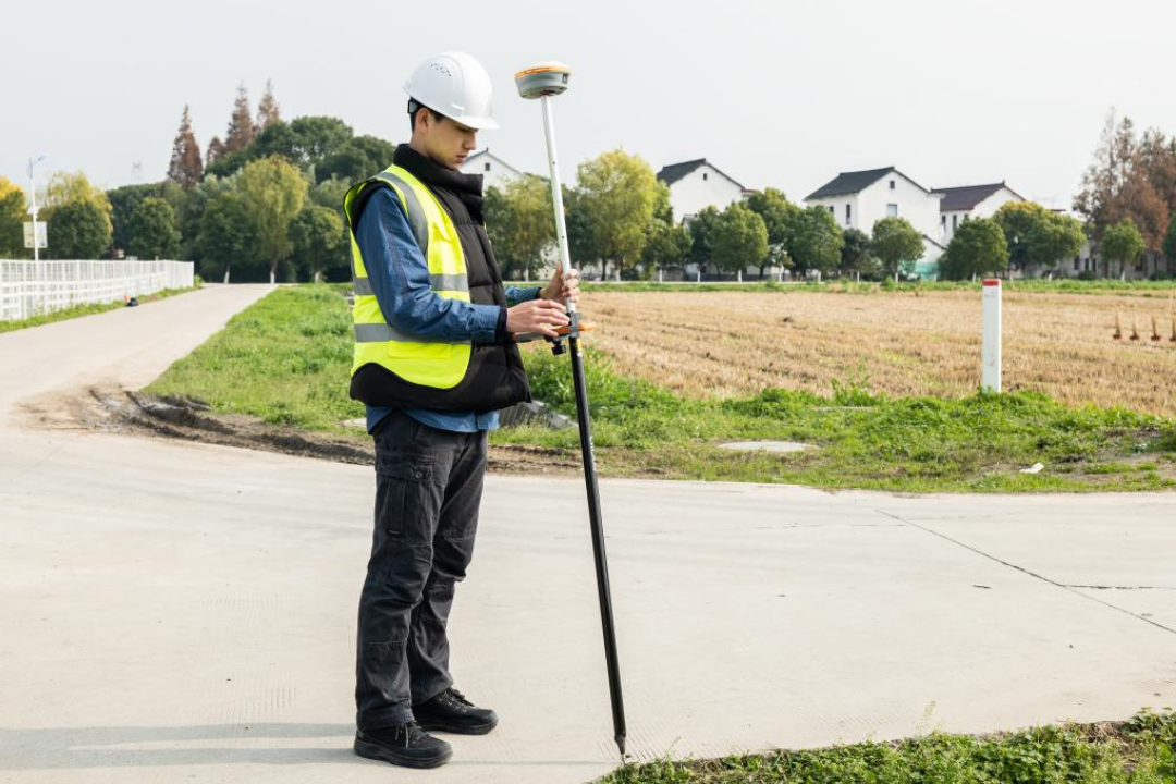
In the dynamic realm of surveying and positioning, the demand for pinpoint accuracy has driven technological advancements, and Visual RTK stands at the forefront of this evolution. Combining the prowess of Real-Time Kinematic (RTK) with visual data, this innovative technology introduces a dimension of precision that redefines the standards in real-time positioning. Traditional RTK relies on satellite signals to enhance the accuracy of positioning systems. However, Visual RTK takes a giant leap forward by incorporating visual data, often from cameras or computer vision systems, to refine and augment the accuracy of location information. This fusion of satellite and visual data ensures a more robust and reliable real-time positioning experience. One of the standout features of Visual RTK is its capacity to overcome challenges posed by obstructions or signal interference. In scenarios where satellite signals may be compromised, such as urban canyons or dense foliage, the visual component steps in to maintain the accuracy of the positioning system. This adaptability makes Visual RTK an invaluable asset in diverse environments, offering surveyors and professionals a versatile solution for their spatial data needs. Moreover, the integration of visual information opens doors to enhanced situational awareness. The technology not only refines the positioning accuracy but also provides a visual context to the data. This can be particularly beneficial in applications such as infrastructure development, precision agriculture, and urban planning, where a comprehensive understanding of the surroundings is crucial. In precision agriculture, for instance, Visual RTK can assist farmers in precisely mapping and monitoring their fields. The combination of accurate positioning and visual data enables more informed decision-making, optimizing resource usage and crop management. As technology continues to evolve, Visual RTK stands as a testament to the relentless pursuit of accuracy in the world of positioning systems. Its real-time capabilities, coupled with the richness of visual data, mark a significant stride forward in ensuring that professionals across various industries have access to the most reliable and precise positioning information. In conclusion, Visual RTK is not merely a technological advancement; it is a paradigm shift in how we approach real-time positioning. With its fusion of satellite and visual data, this technology is poised to redefine the benchmarks of accuracy, opening up new possibilities for industries that rely on precision and efficiency.