OUTSTANDING ACCURACY
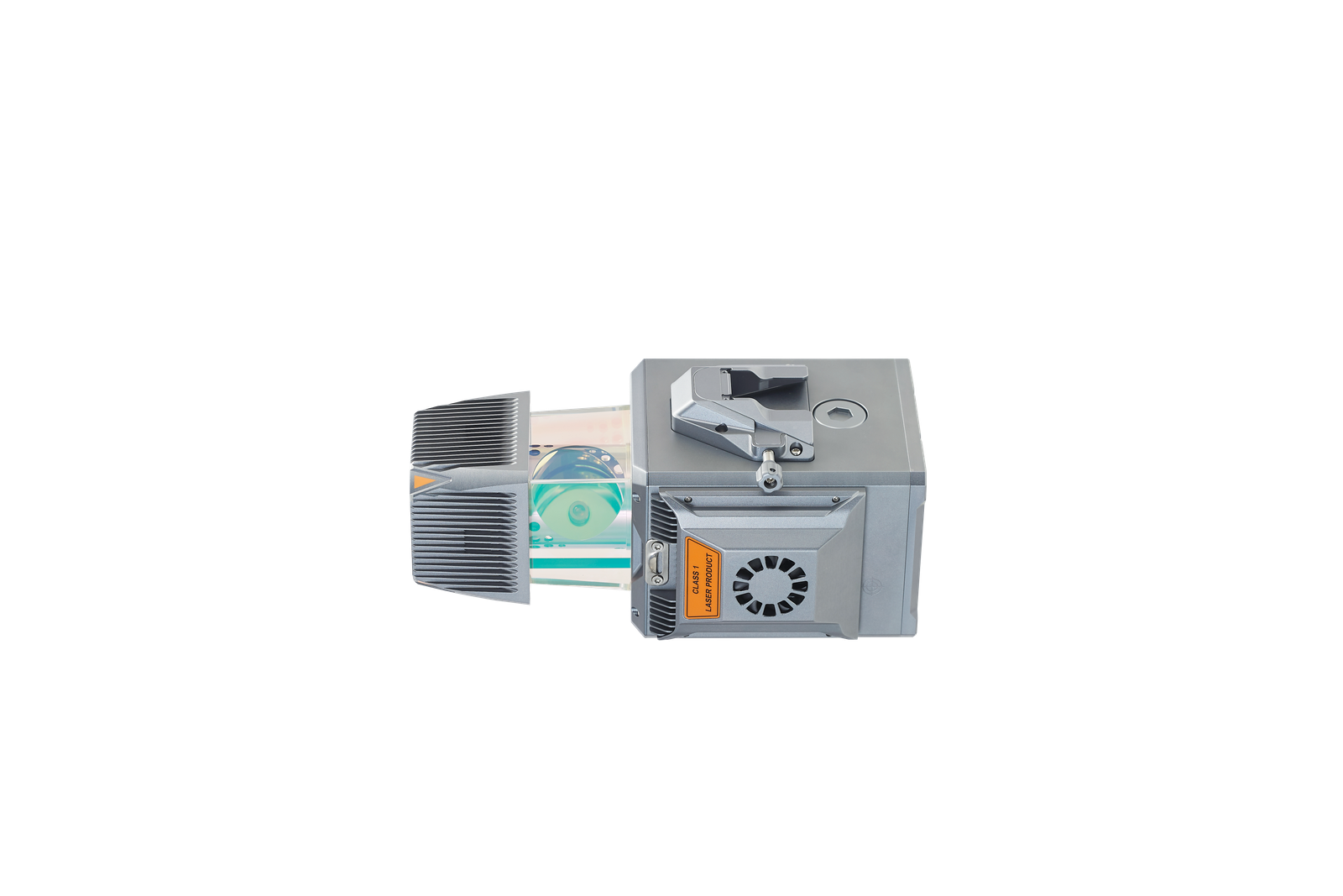
The AU20 incorporates CHCNAV's high-precision navigation algorithm, the result of more than two decades of research. Combined with the scanner's remarkable 5 mm repeated ranging accuracy, the system achieves exceptional absolute accuracy of 2 to 5 cm, even in the most difficult and demanding environments.
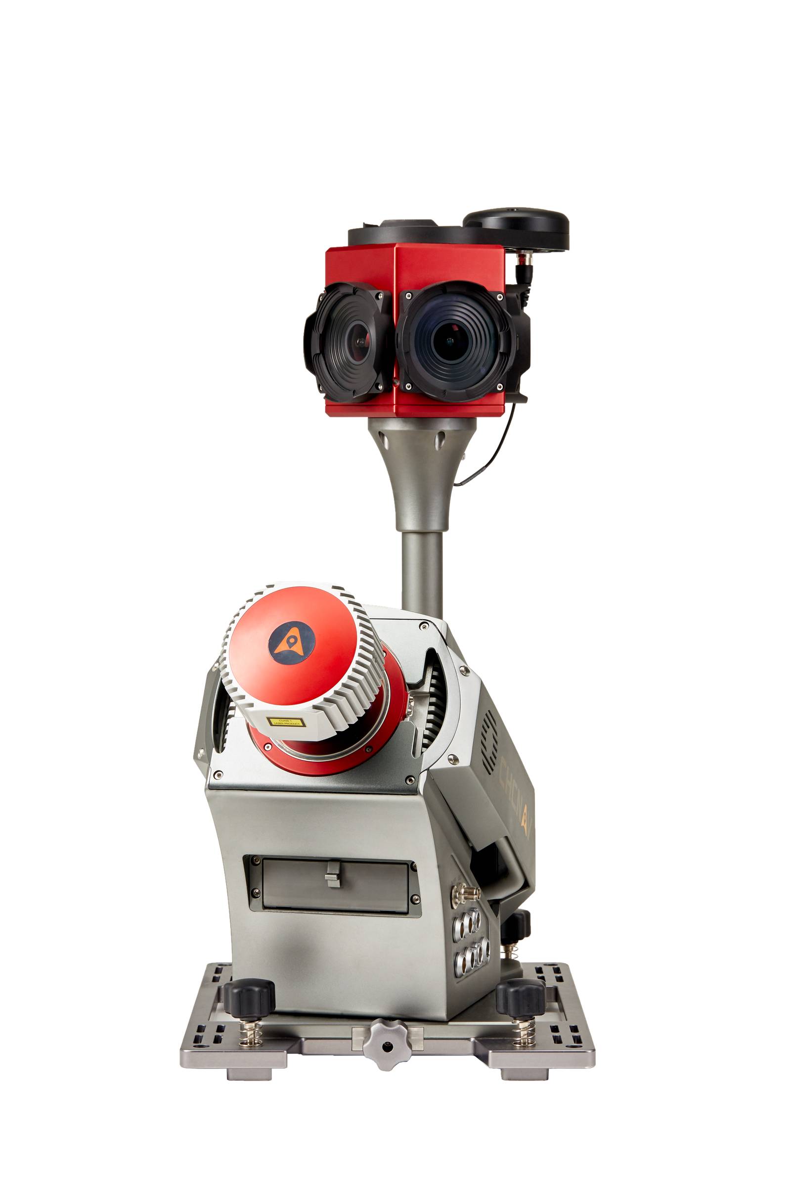
MULTI-PLATFORM DESIGN
The AU20 follows CHCNAV's proven flexible multi-platform LiDAR design concept. It can be mounted on manned and unmanned aircraft for airborne scanning and on a variety of land vehicles such as cars, boats and trains for mobile mapping. It can also be conveniently mounted on a backpack for narrow area mapping.
STRONG PENETRATION
With its advanced multi-target capability, the AU20 supports up to 16 target echoes for superior vegetation penetration ability. Capturing ground surfaces and generating accurate Digital Elevation Models (DEMs) and Digital Surface Models (DSMs) is made easy, even in difficult environments with dense vegetation.
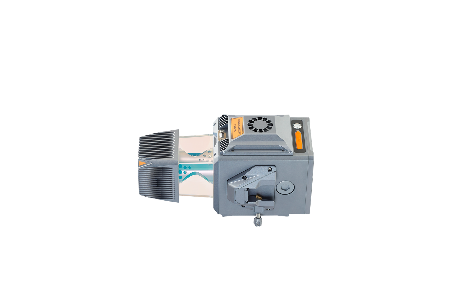
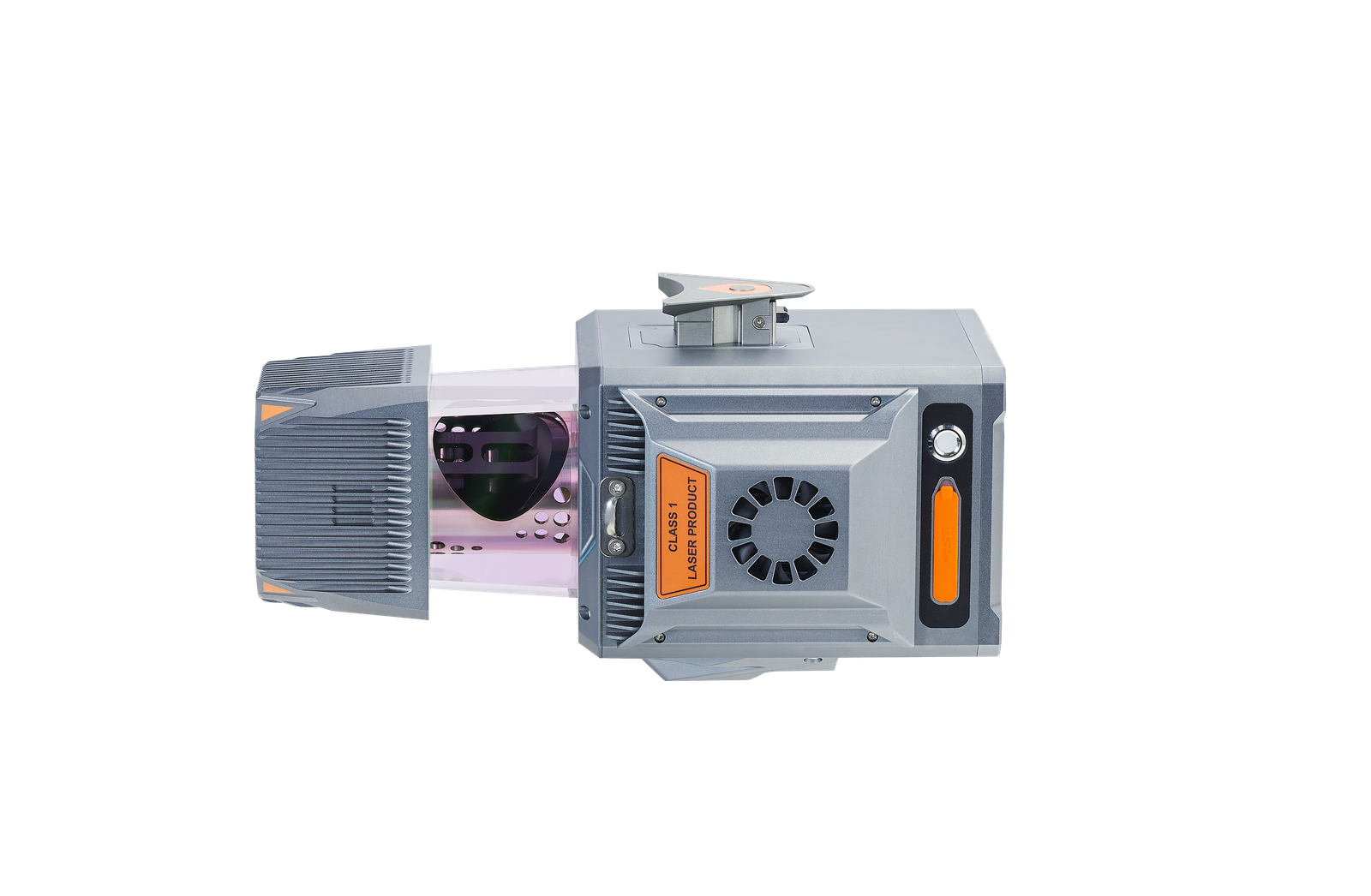
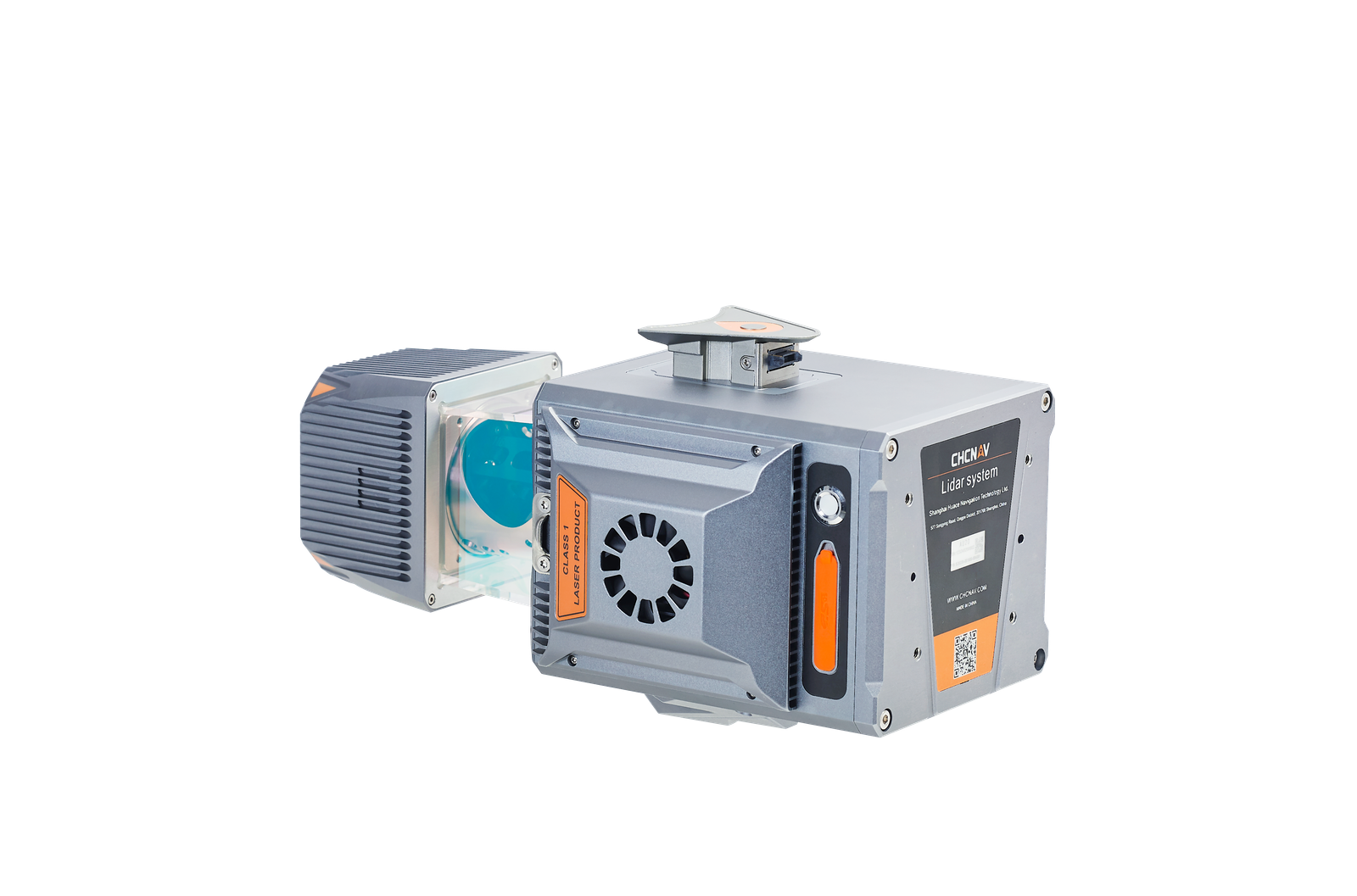
PREMIUM LASER
The AU20 offers long-range survey capabilities up to 1450 m, high-speed scanning at 2M points per second, and a continuously rotating mirror that enables scan speeds of up to 200 scans per second, providing greater detail for critical tasks.
INDUSTRIAL RELIABILITY
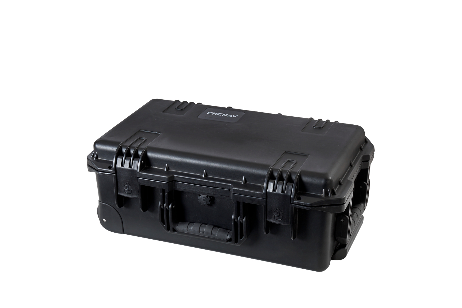
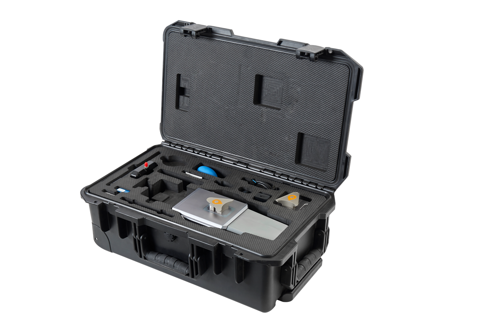
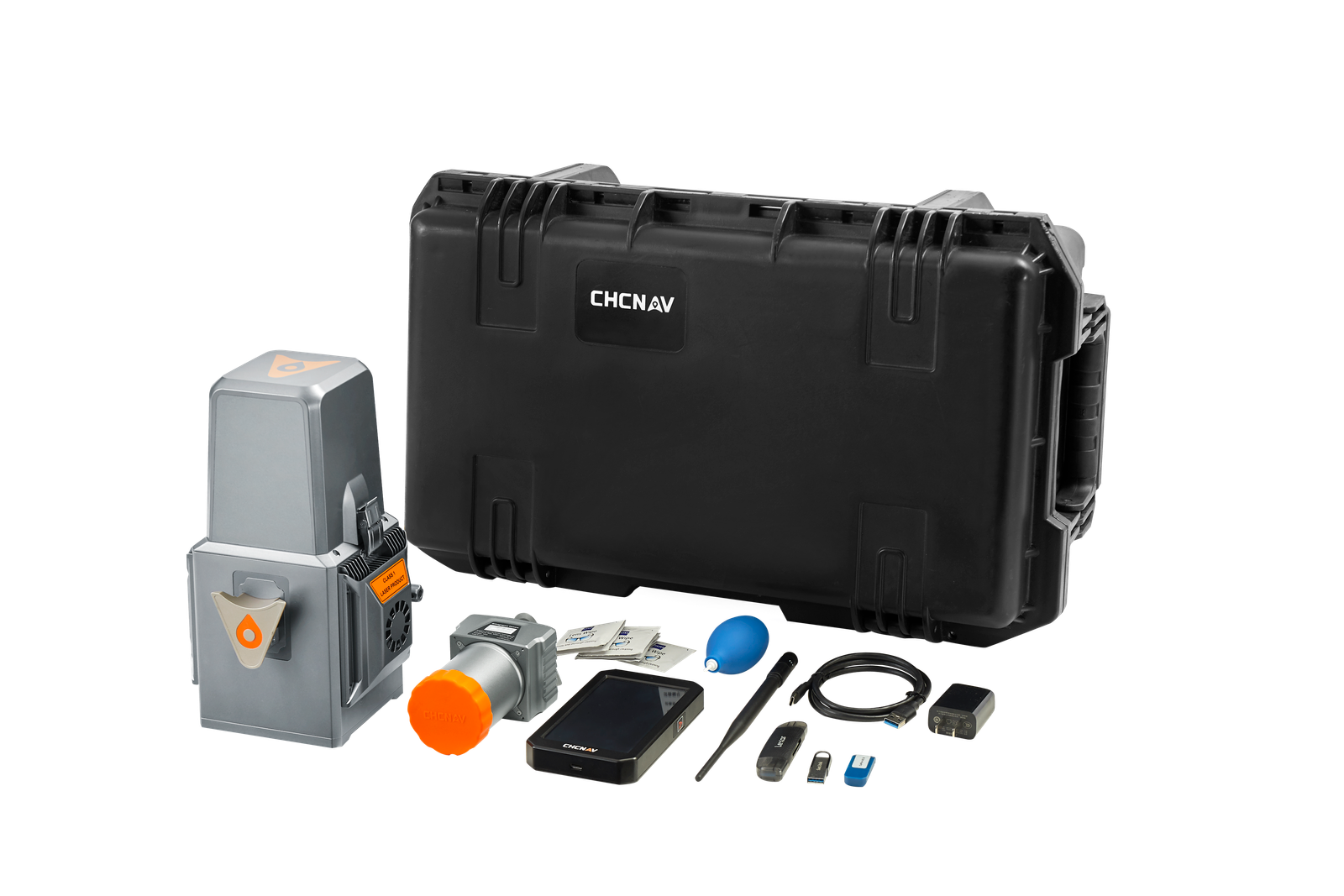
All Alpha family systems offer the highest levels of protection and operational performance in any field environment. Survey missions can face unexpected weather surprises or site conditions, and our solutions are designed to excel in any situation, always ensuring reliable performance.
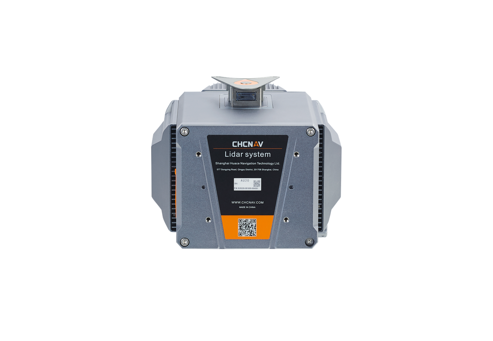
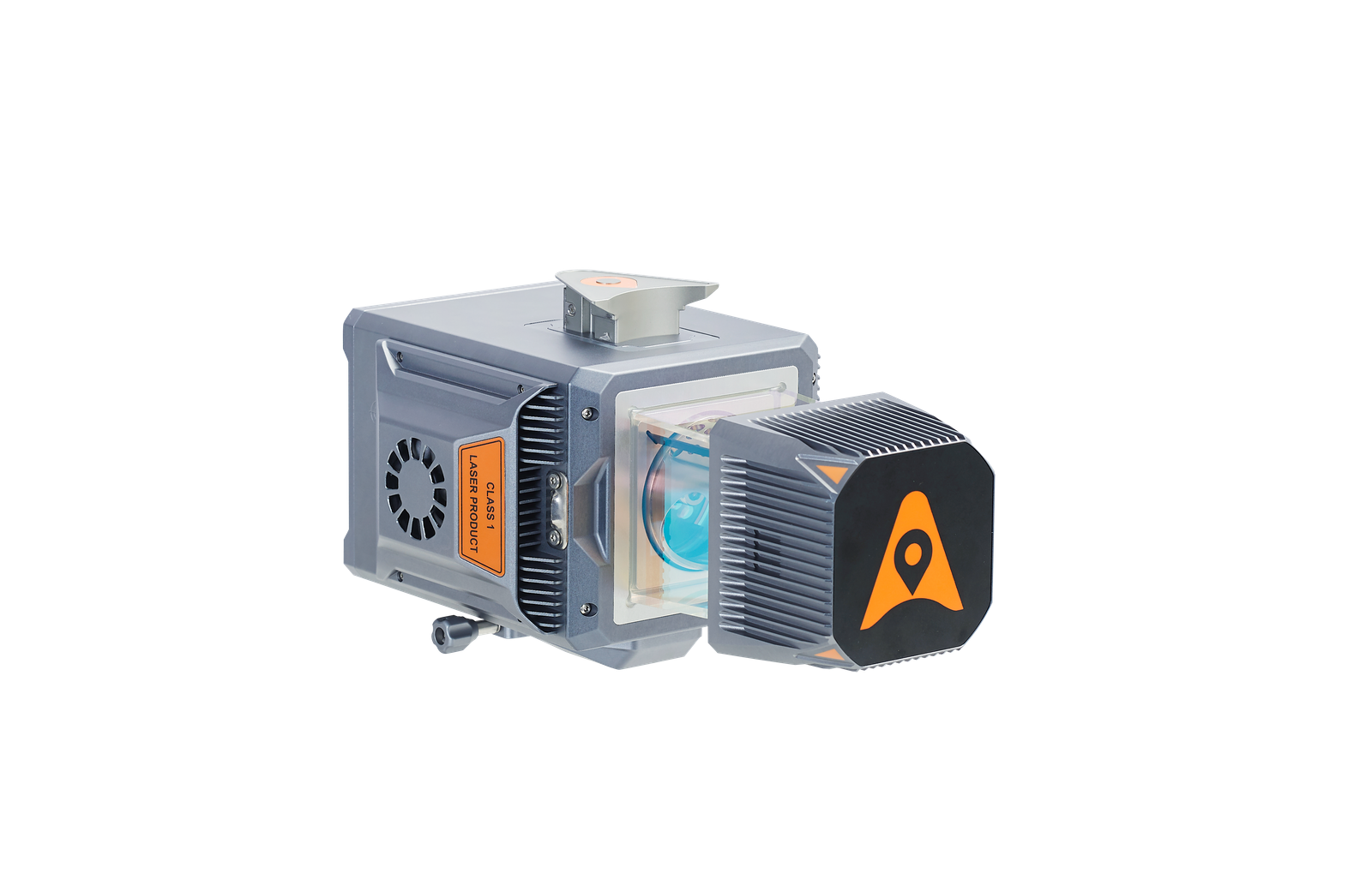
LIGHT-WEIGHT
The AU20 LiDAR system is incredibly light and compact, weighing only 2.82 kg. Combined with the latest car mount kit, which includes a Ladybug5+, the total weight is only 10.7 kg.
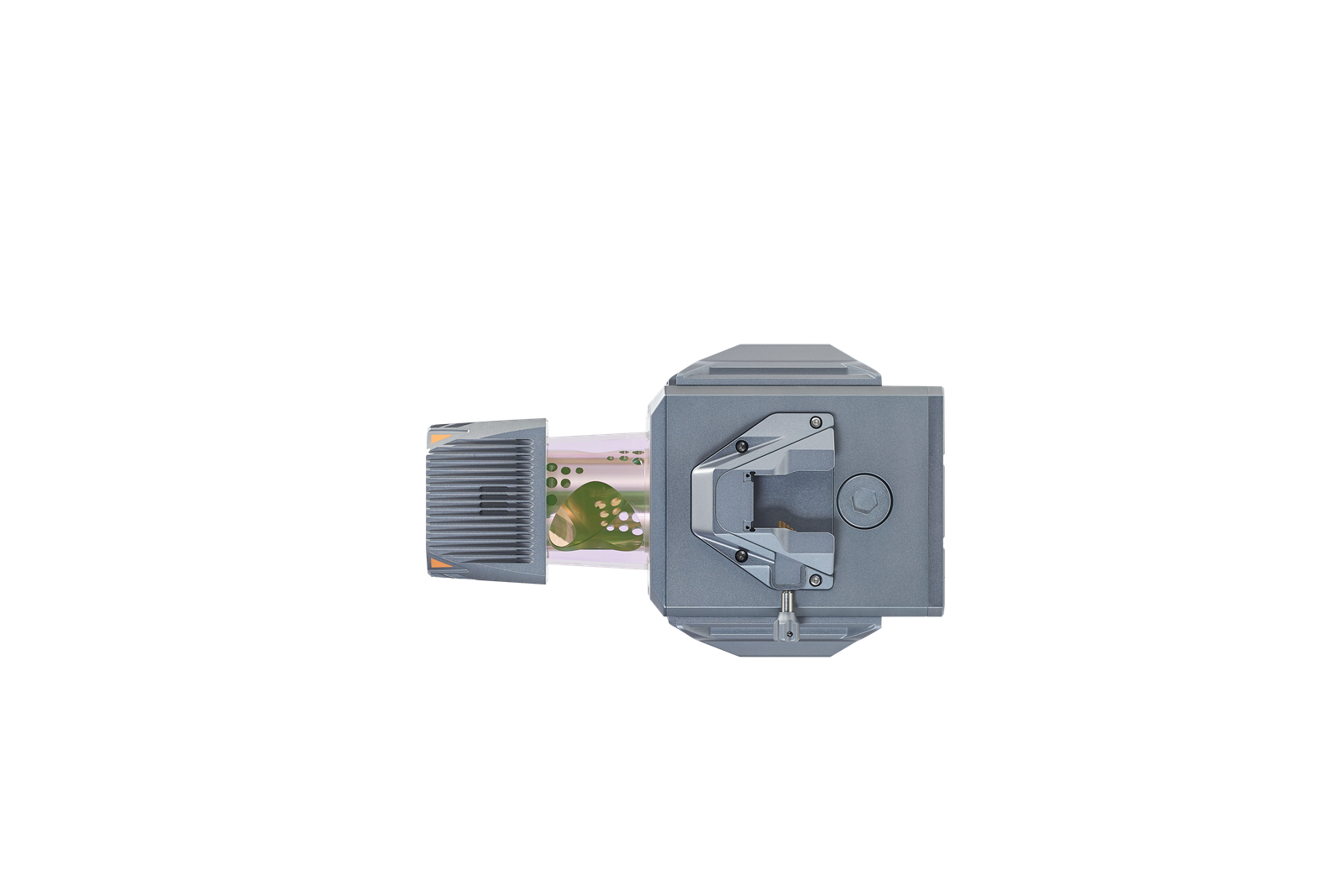
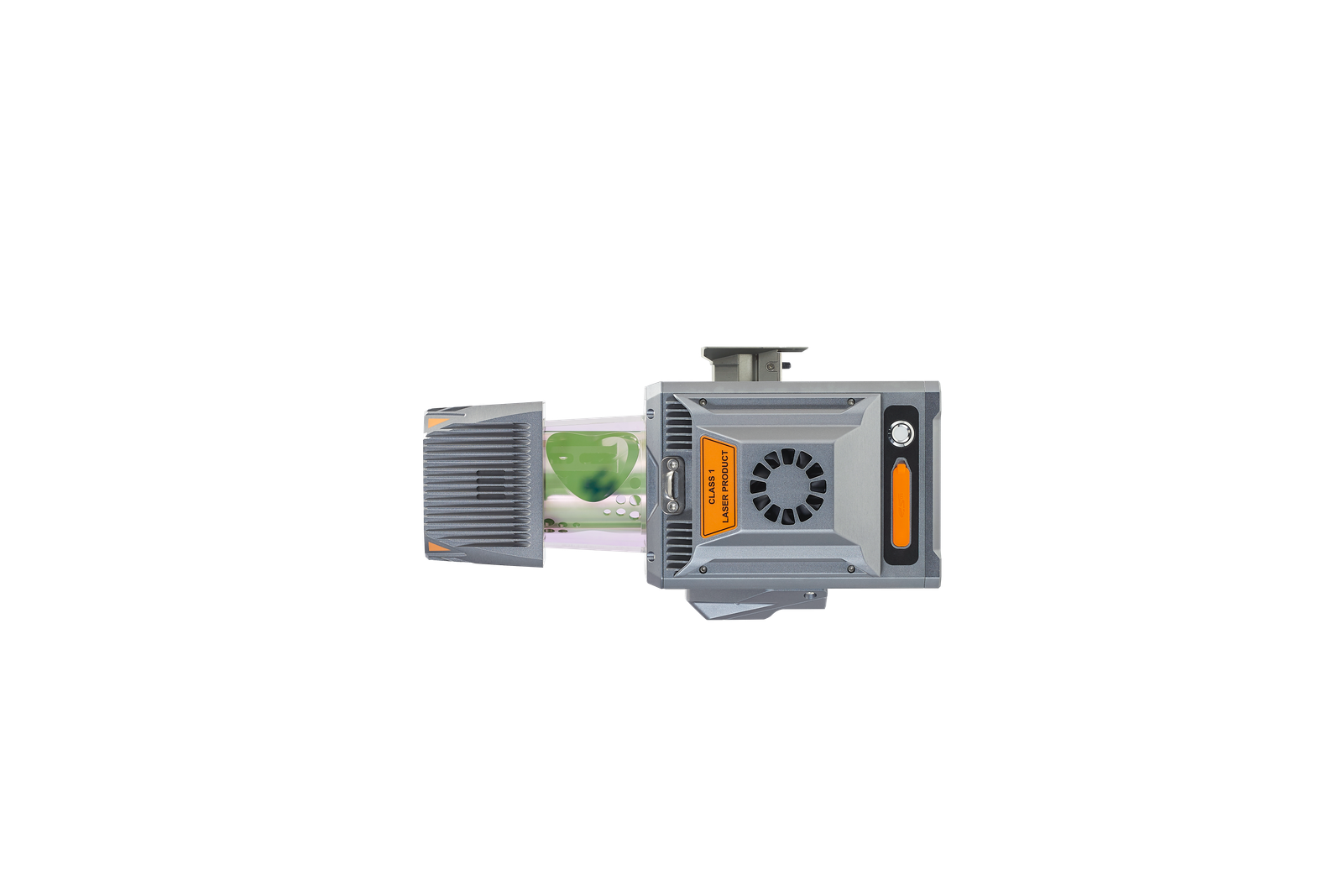
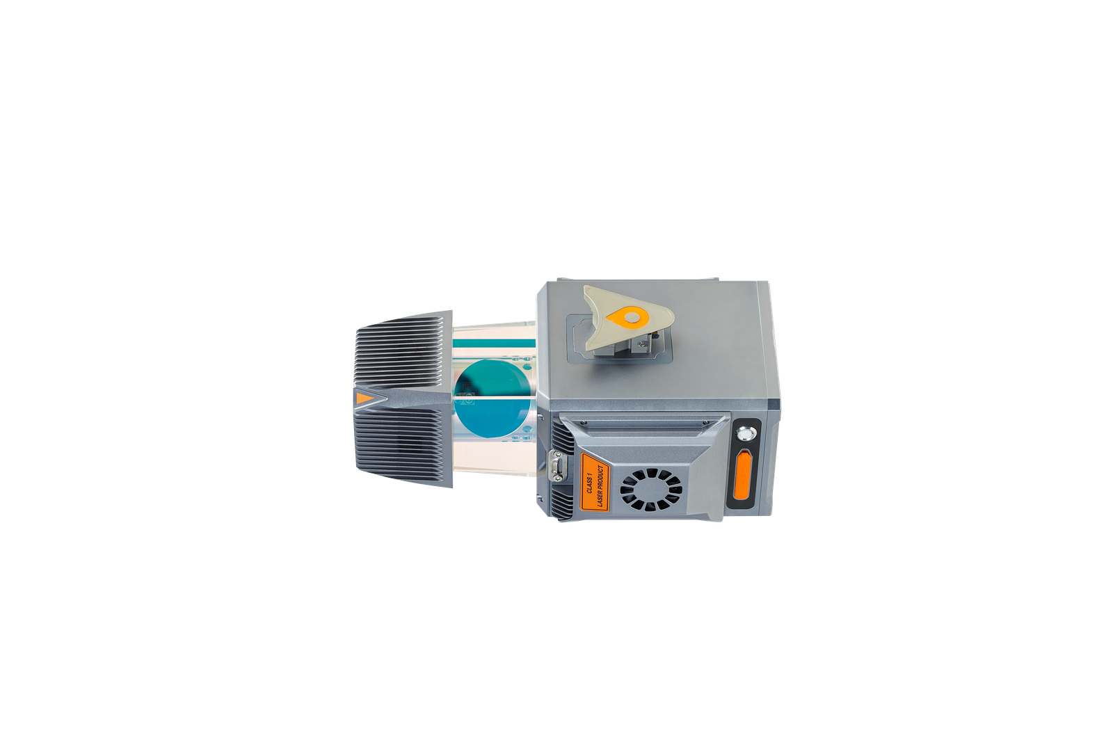
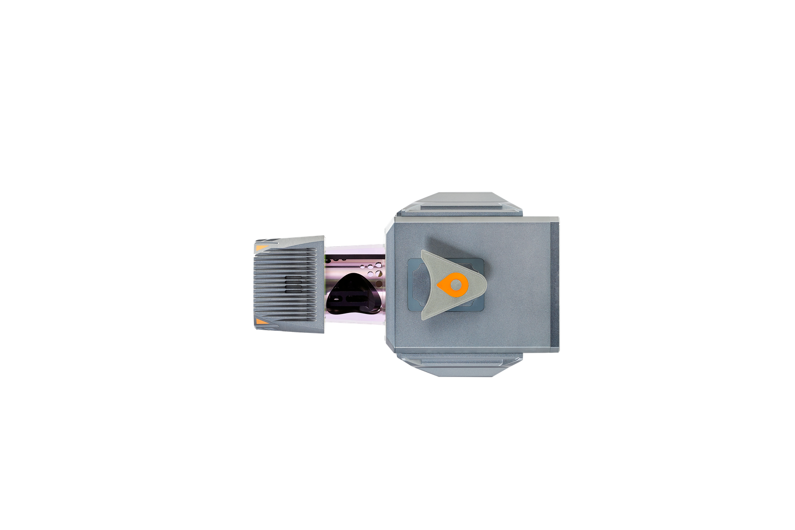
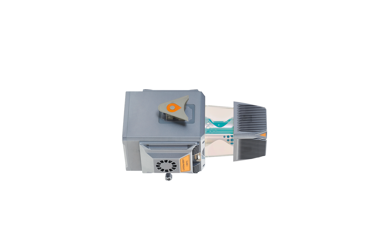
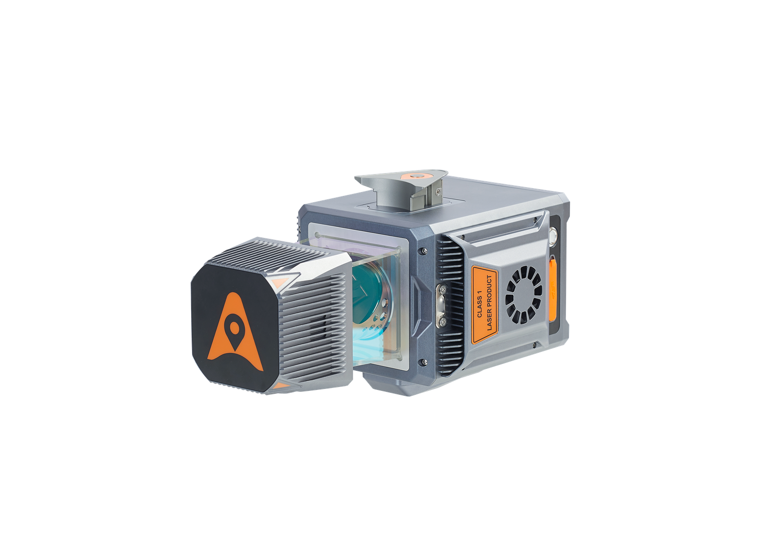
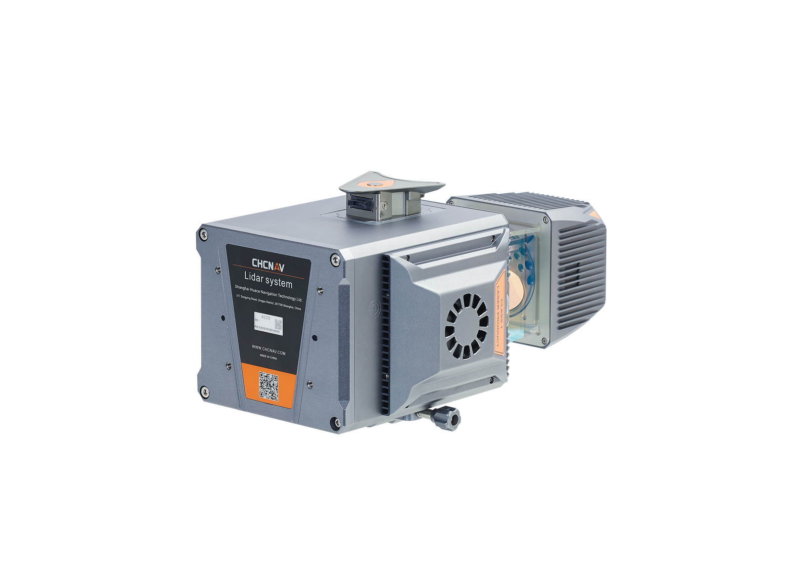
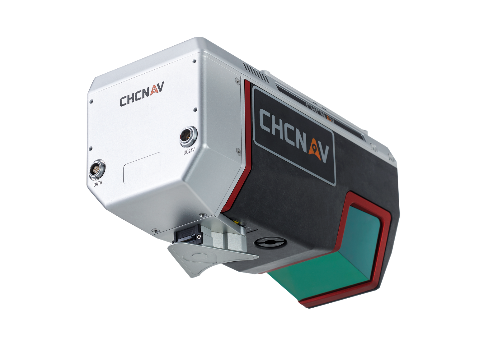
HIGHLY INTEGRATED
Installation of the AU20 is quick and easy thanks to Alphaport's one-click connection to the power source and camera.
EFFICIENT WORKFLOW
CHCNAV offers a complete solution for adding LiDAR surveying to users' geomatics services. Fully automated reality capture and real-time mission monitoring is provided by SmartGo software and intelligent point cloud processing by CoPre desktop software.