PREMIUM
SOLUTIONS
MAPPING
CORRIDOR LiDAR
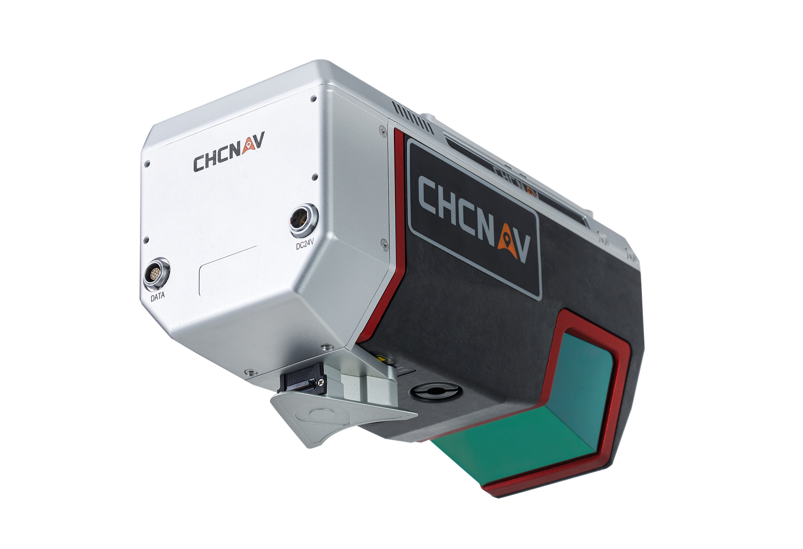
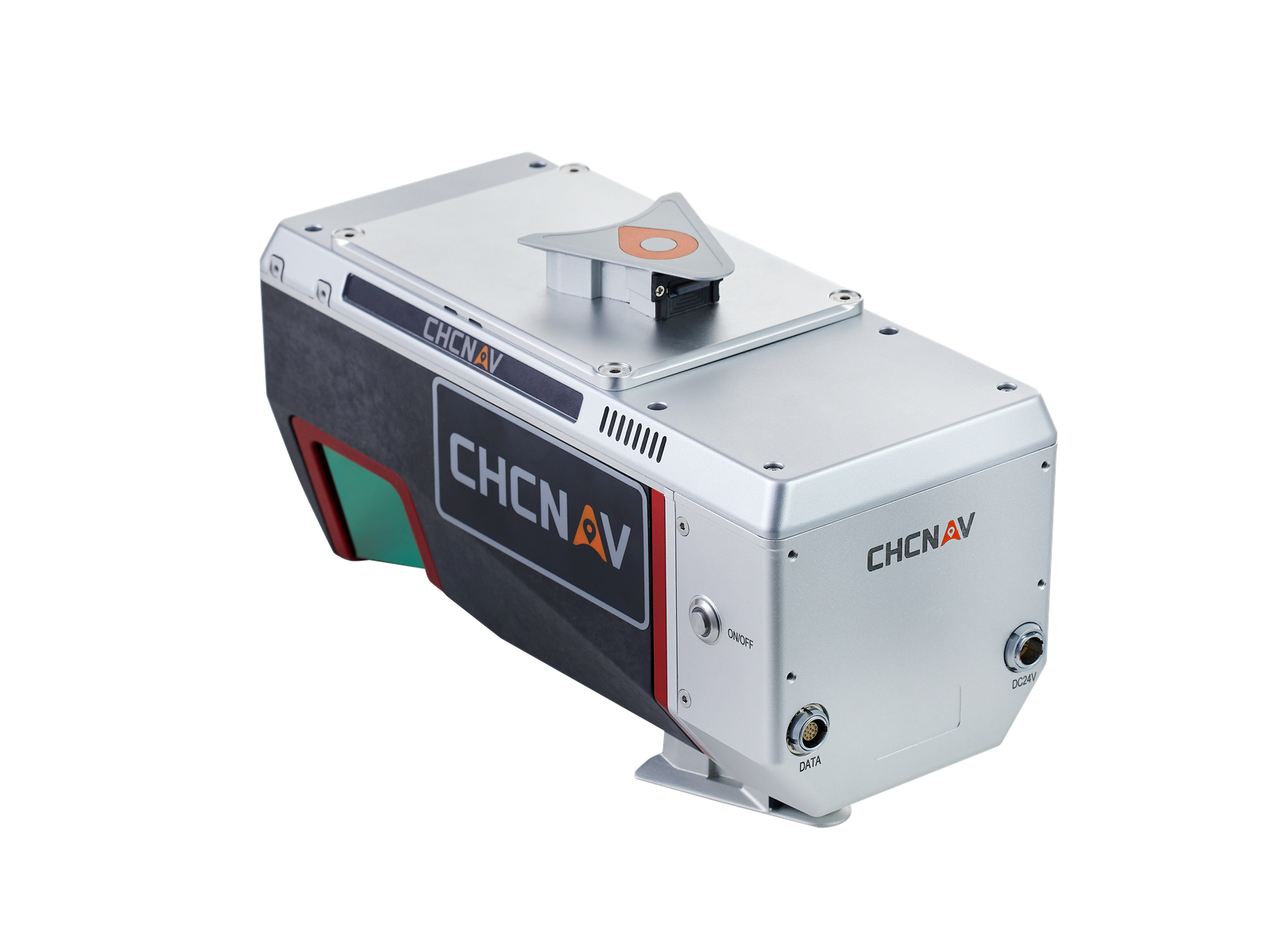
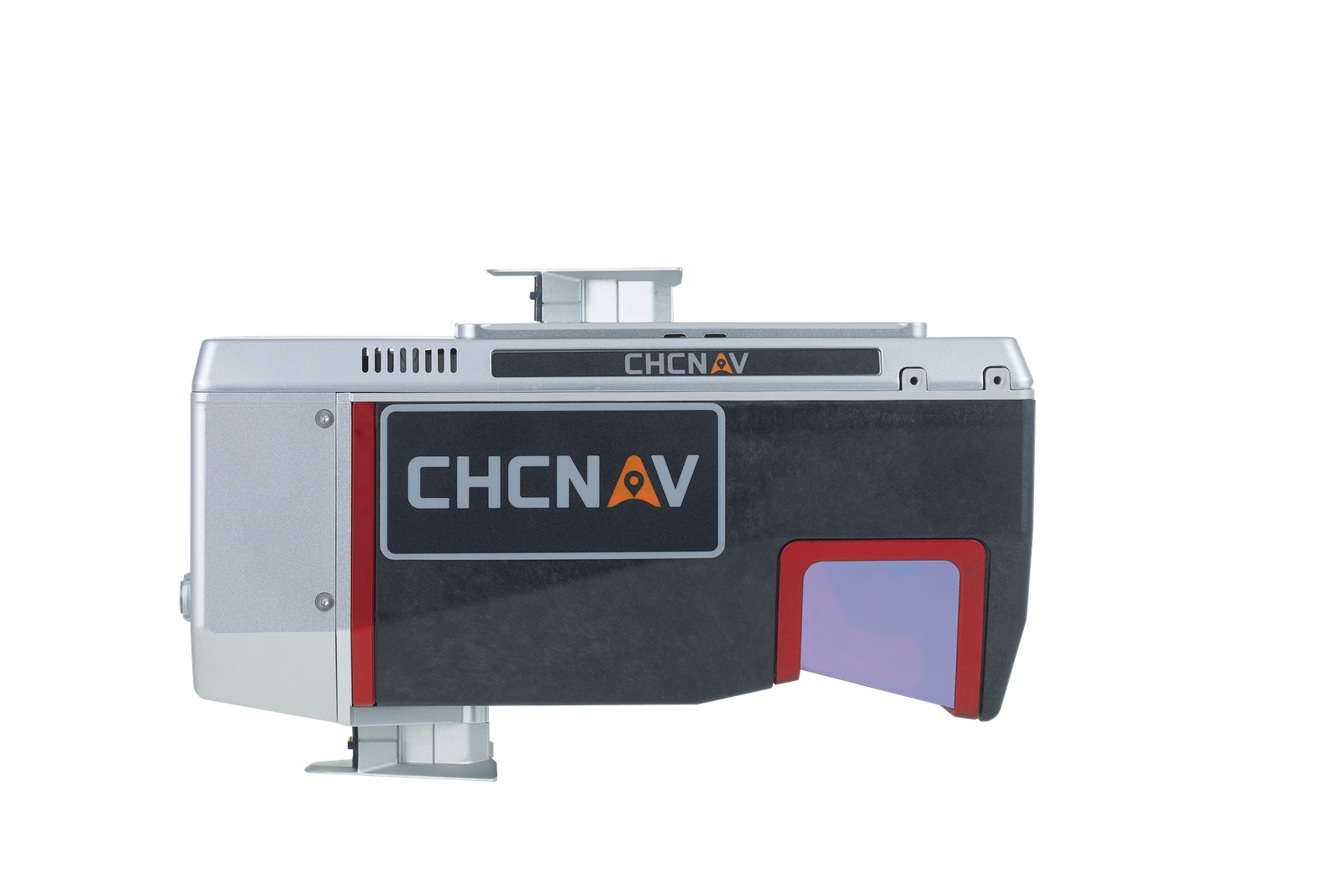
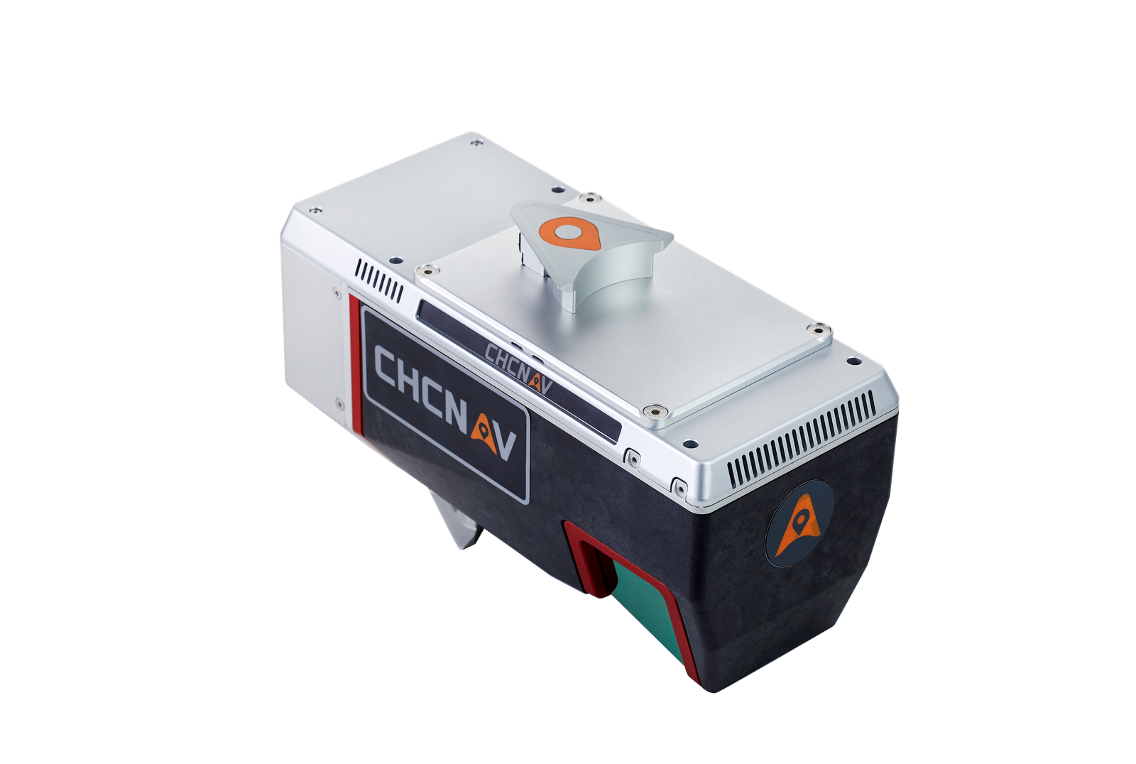
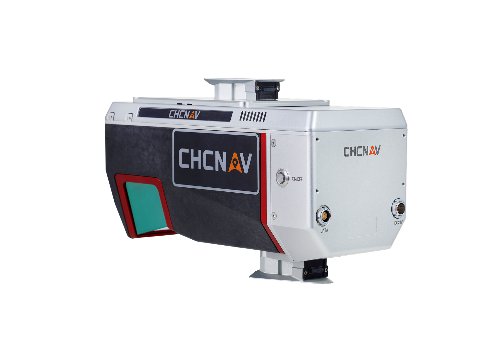
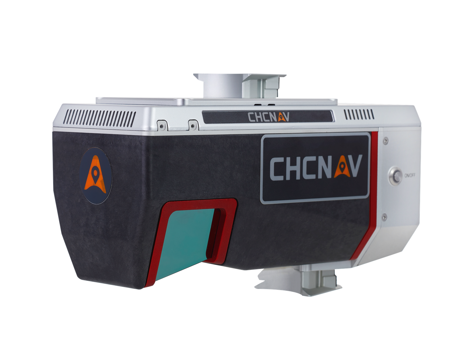
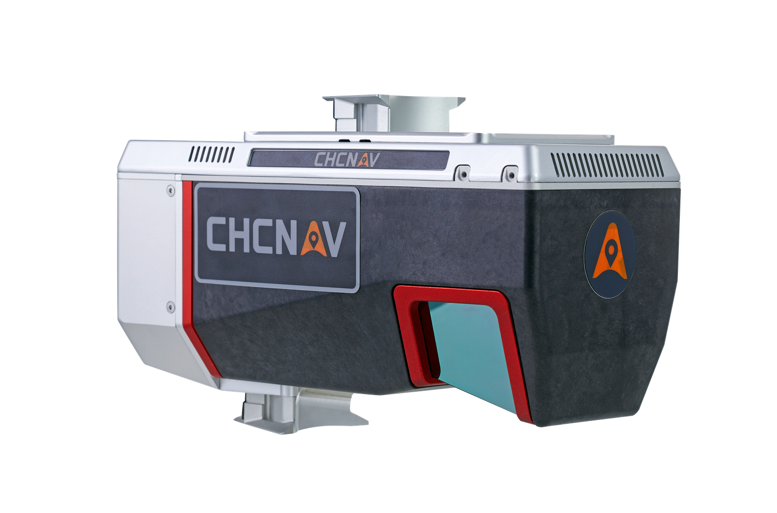
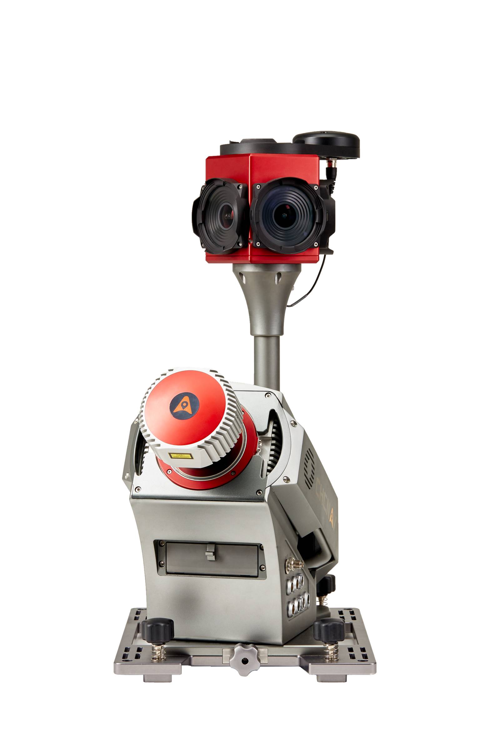
The AlphaAir 1400 & 2400 are lightweight airborne laser scanners that belong to the Alpha Mobile Mapping series, recognized for their high accuracy and data quality without compromising on reliability and specially designed for use on various UAV platforms, helicopters or small airplanes. These airborne laser scanners offer a wide field of view and an extremely fast data acquisition rate of up to 1.8 MHz. They are ideally suited for high-density point corridor mapping applications, and provide reliable results day or night, under leaf-on and leaf-off conditions and in dense vegetation
CHCNAV · ALPHAAIR 1400/2400
OUTSTANDING ACCURACY
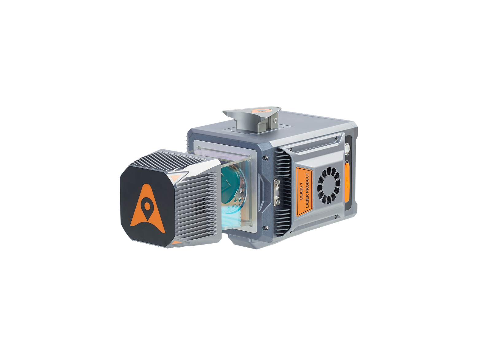
The VUX-120 and VUX-240 1.8 MHz LiDAR sensors provide linear accuracy of 1 to 2 cm on long-range scanning. By combining industrial grade GNSS with high precision IMU, the AlphaAir 1400 & 2400 deliver 2-5 cm accuracy depending on the range. To further improve accuracy and precision, users can apply adjustment techniques in the CHCNAV CoPre software.
HIGHEST DATA QUALITY
The VUX LiDARs use RIEGL's unique Waveform-LiDAR technology, enabling digitization of echoes and online waveform processing. Multi-target resolution is the basis for penetrating even dense foliage. A continuously rotating polygonal mirror wheel enables scan speeds of up to 400 lines per second, to efficiently cover large areas when used from fast drones or aircraft.
HIGH IMAGE QUALITY
CHCNAV offers several external cameras add-on for the AlphaAir. Users can choose from 42, 100 or 150 MP fully calibrated sensors for data acquisition. Setups can include nadir or nadir and oblique cameras from Sony or PhaseOne. Data processing is supported by our CoPre Software, which is fully compatible.
OPERATIONAL FLEXIBILITY
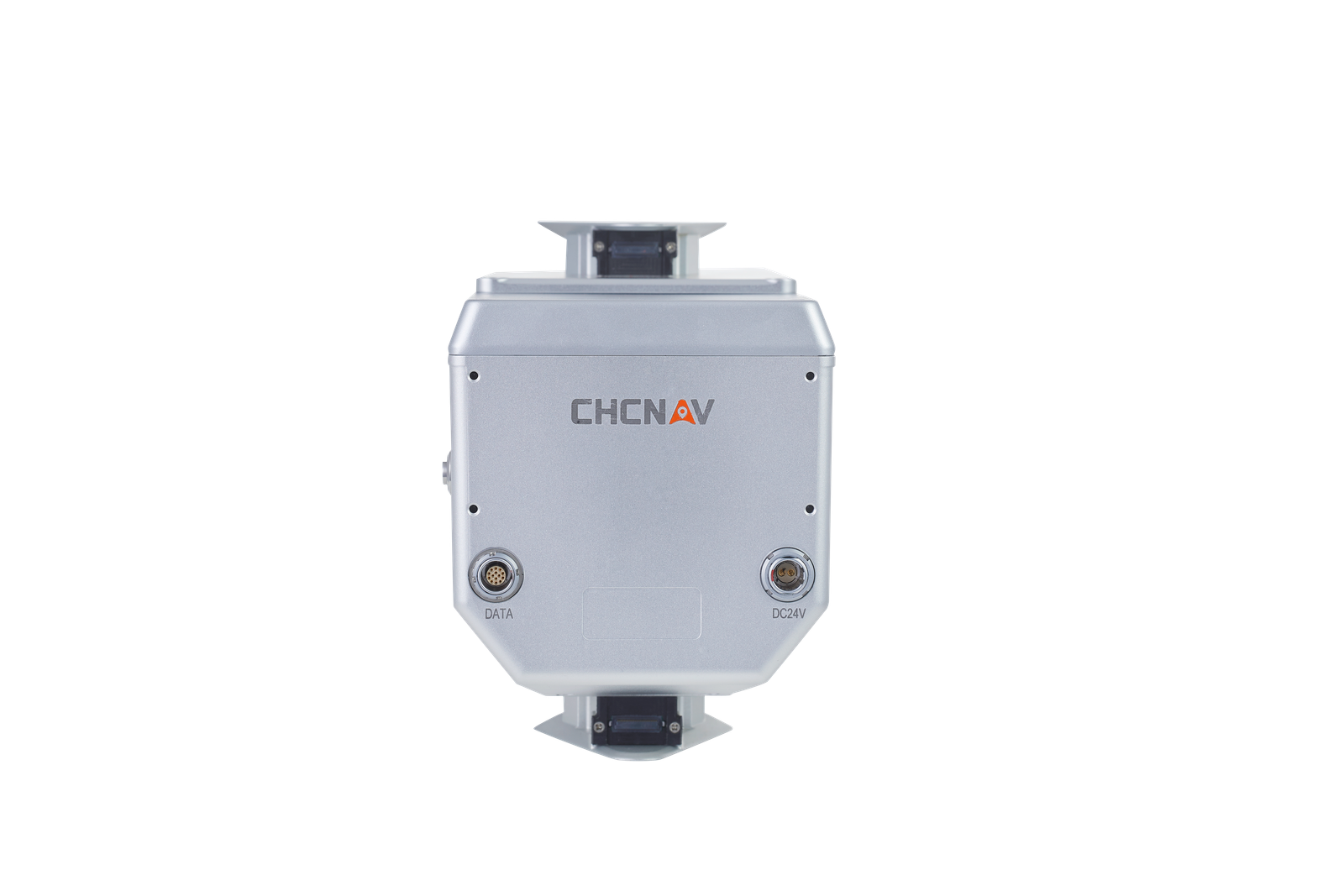
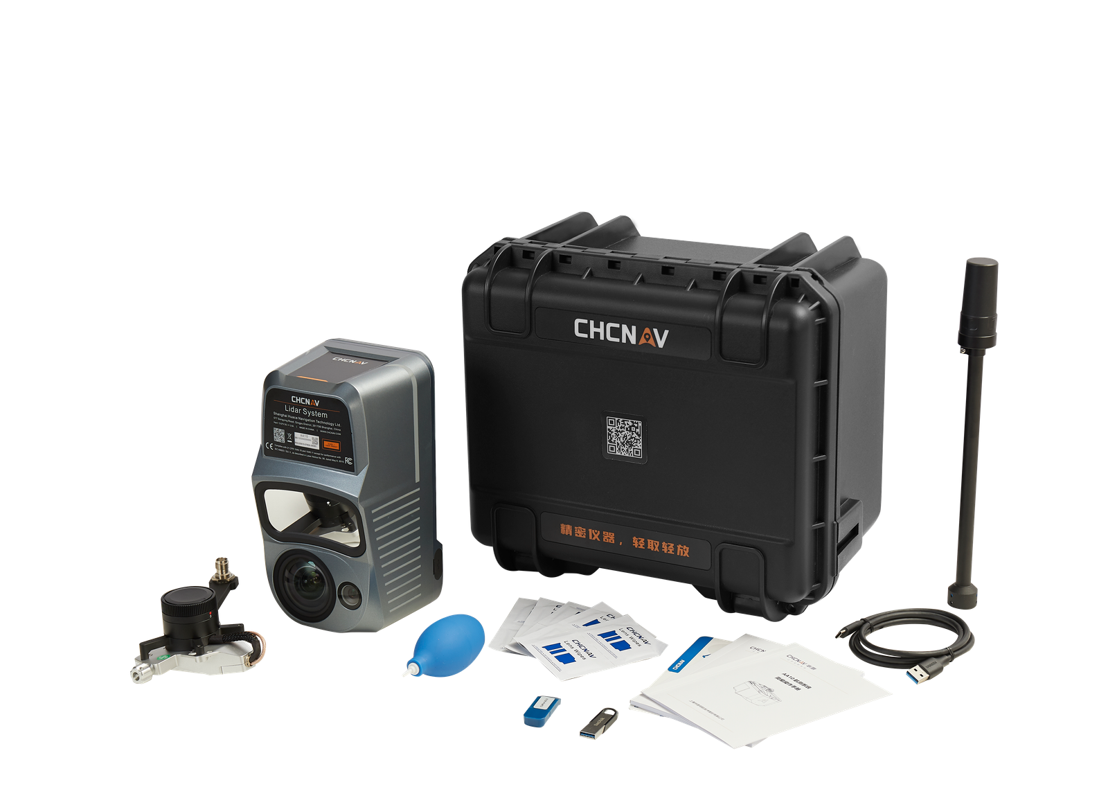
The AlphaAir 1400 & 2400 are compact units with an embedded system controller and data storage, making them easy to install in any small survey aircraft, helicopter or UAV. The systems can also be equipped with high resolution nadir and/or oblique cameras.
CABLE FREE CONNECTION
The one-click connection of the AlphaPort to the power source and camera makes installation of the AlphaAir 1400 and 2400 very quick and easy, reducing the risk of cable damage due to aircraft vibration and acceleration during takeoff and landing.
ENTIRE OWN ECOSYSTEM
CHCNAV provides a full range of solutions that allow users to add a LiDAR scanning to their existing geomatics services. The software suite includes CoCapture UAV field application for fully automated reality capture and real-time mission tracking, and CoPre desktop software for semi-automated point cloud processing.