PROFESSIONAL UAV
PLATFORM
REALITY CAPTURE
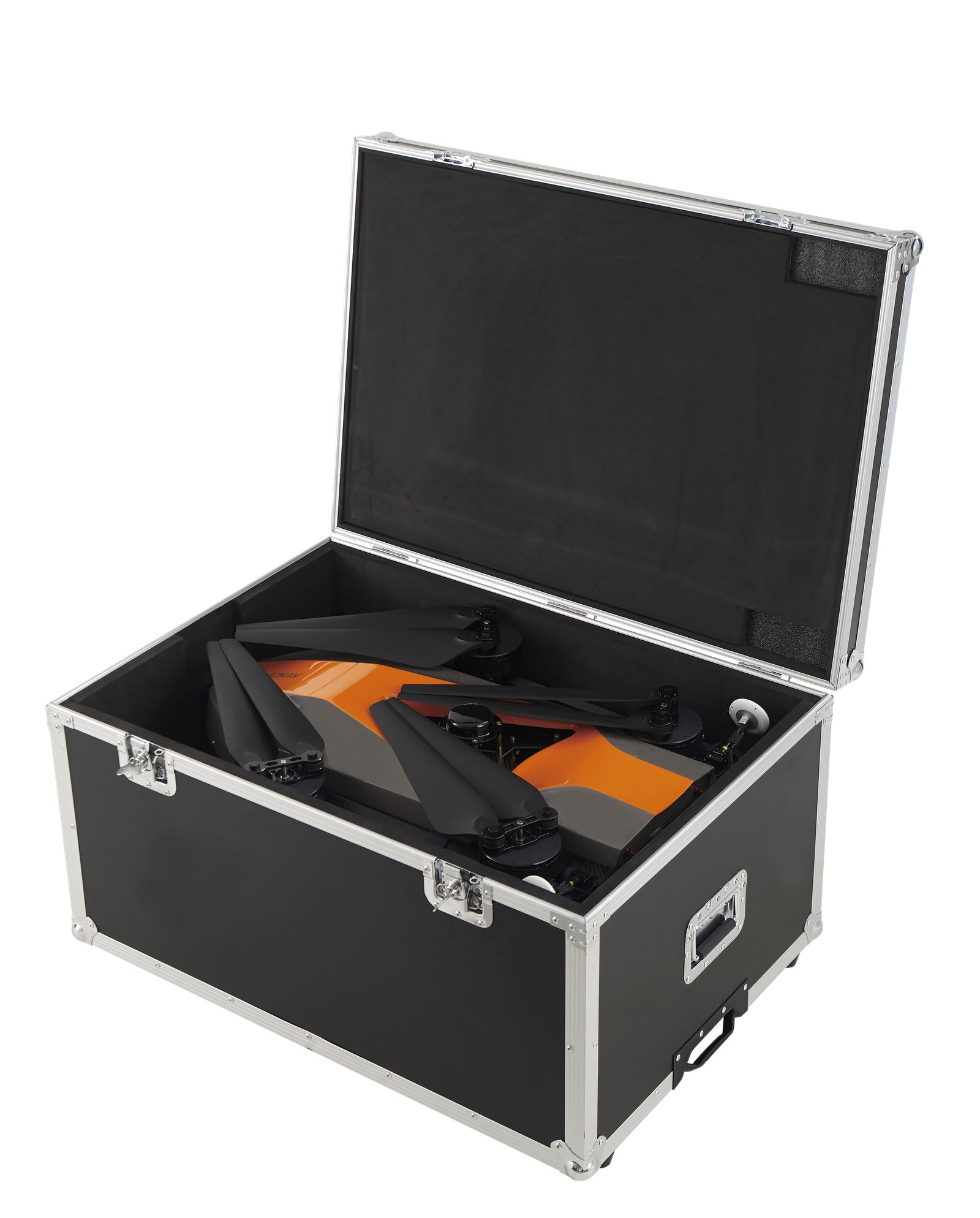
2 min for flight preparation.
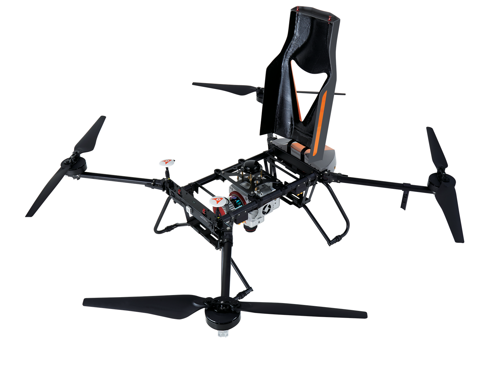
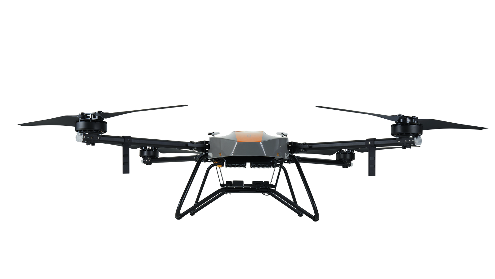
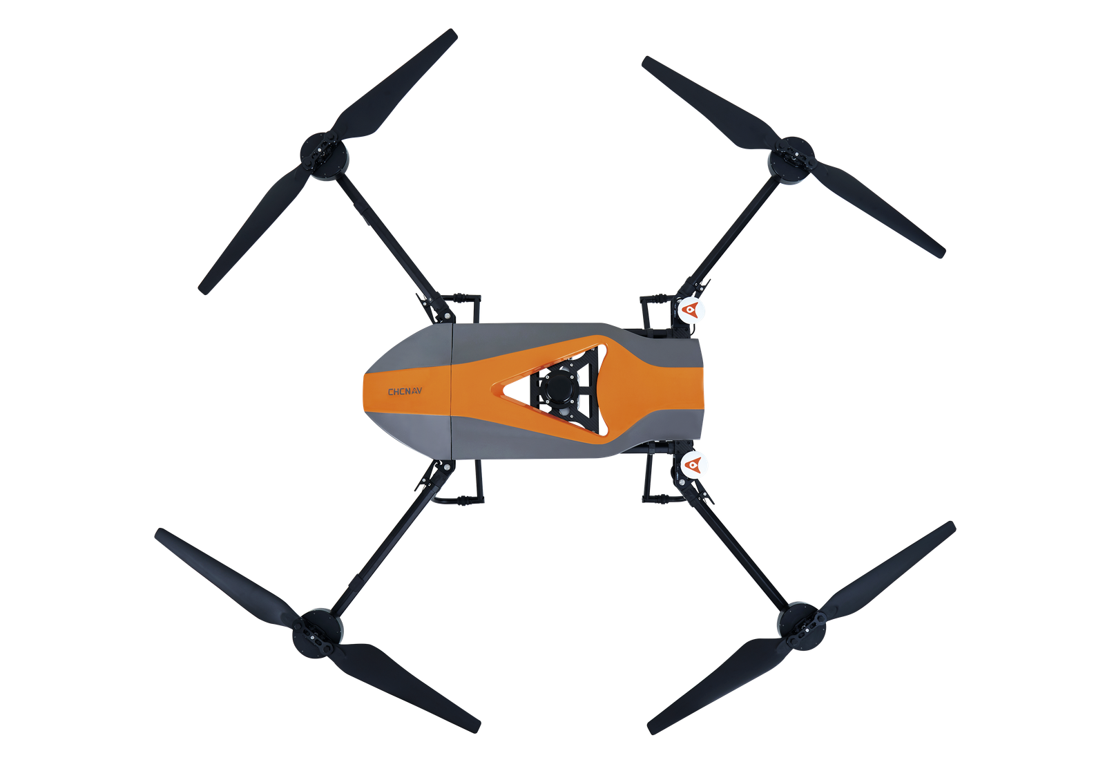
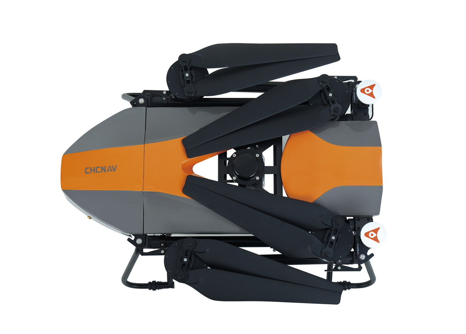
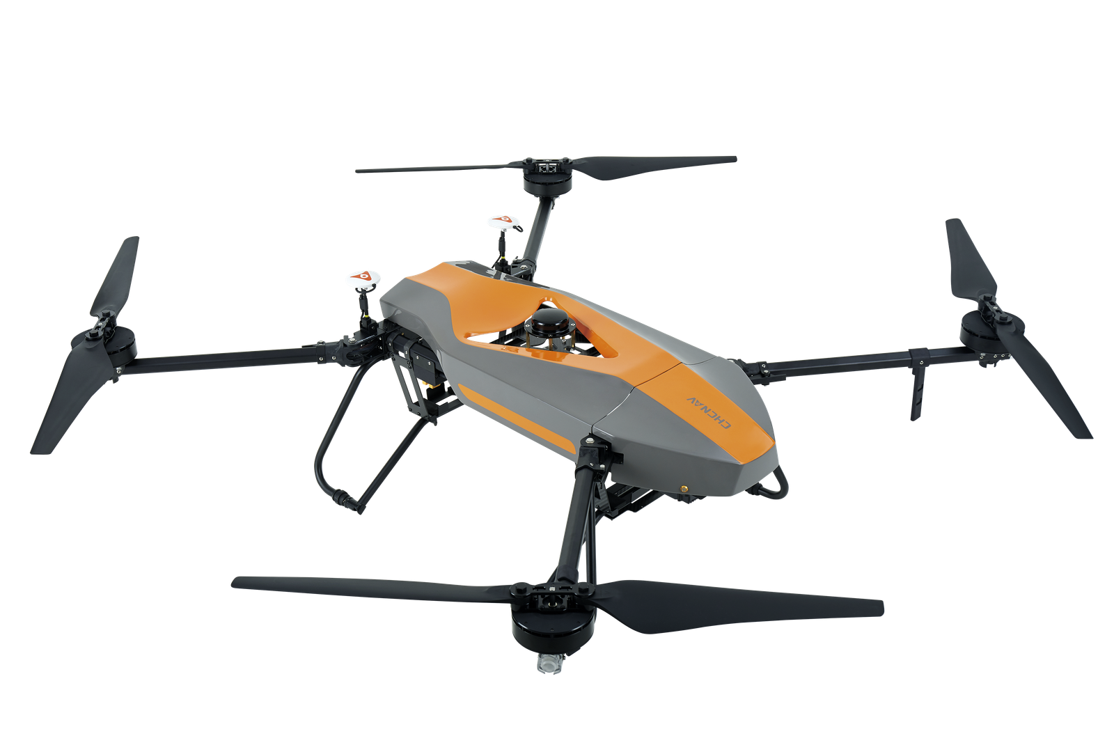
BB4 UAV is specially designed for professional industrial applications. The modular design with pre-installed arms and antennas reduces the time required for setup, making the platform ready for use in just 2 minutes. Thanks to its structure, little space is required for BB4 take-offs and landings.
Operated by DJI Ground Station Pro.
Enhance the BB4's operation with the DJI Ground Station Pro (DJI GS Pro), an iPad App. Perform automated flight missions, manage flight data in the cloud, and collaborate between projects to efficiently manage your drone workflow.
Extended survey coverage capacity.
BB4 offers up to 55 minutes of flight time with a 1 kg payload and up to 40 minutes with a 5 kg payload, providing users with the ability to install a high-performance LiDAR and survey large areas in a single flight mission.
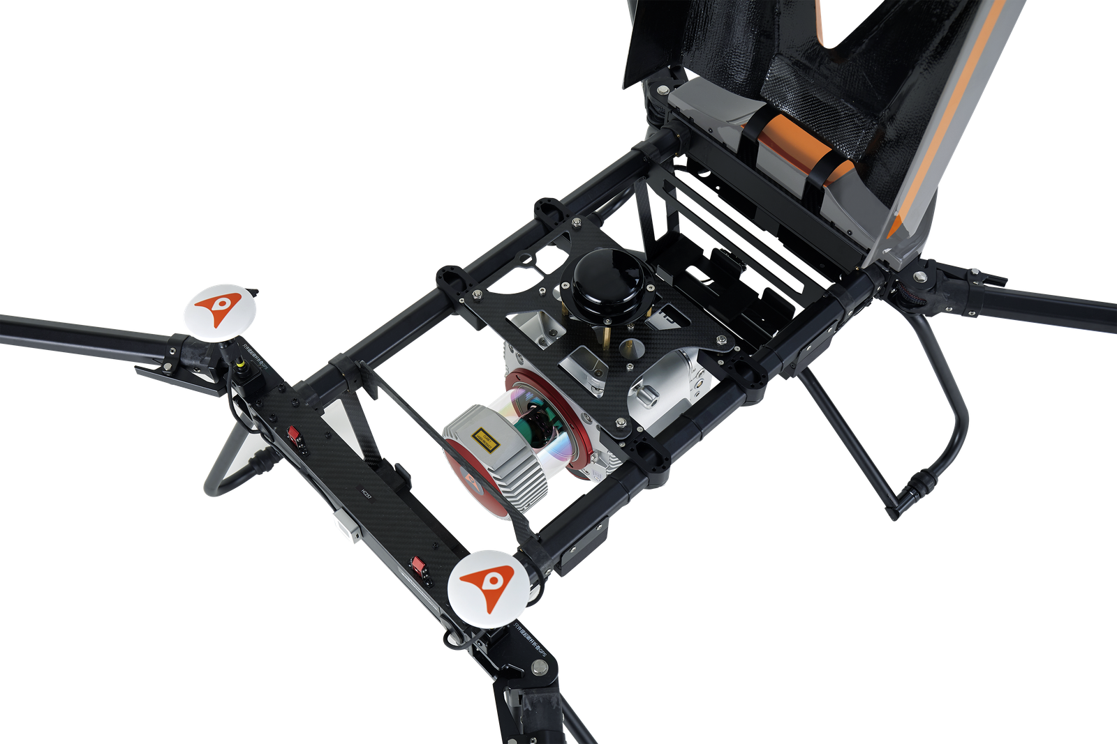
Operating range up to 5 km.
The BB4s use the DJI Lightbridge 2 flight controller with an operating range of 5 km. The integrated controller and advanced algorithms set a new standard for wireless HD image transmission by reducing latency and increasing maximum range and reliability.
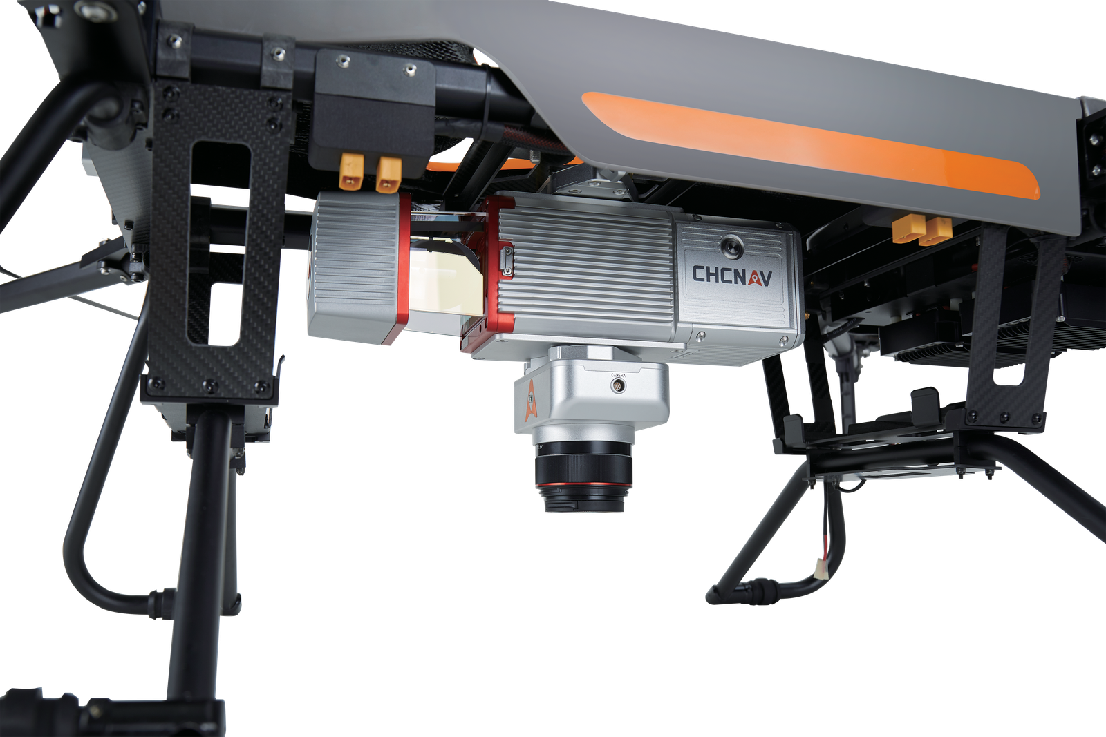
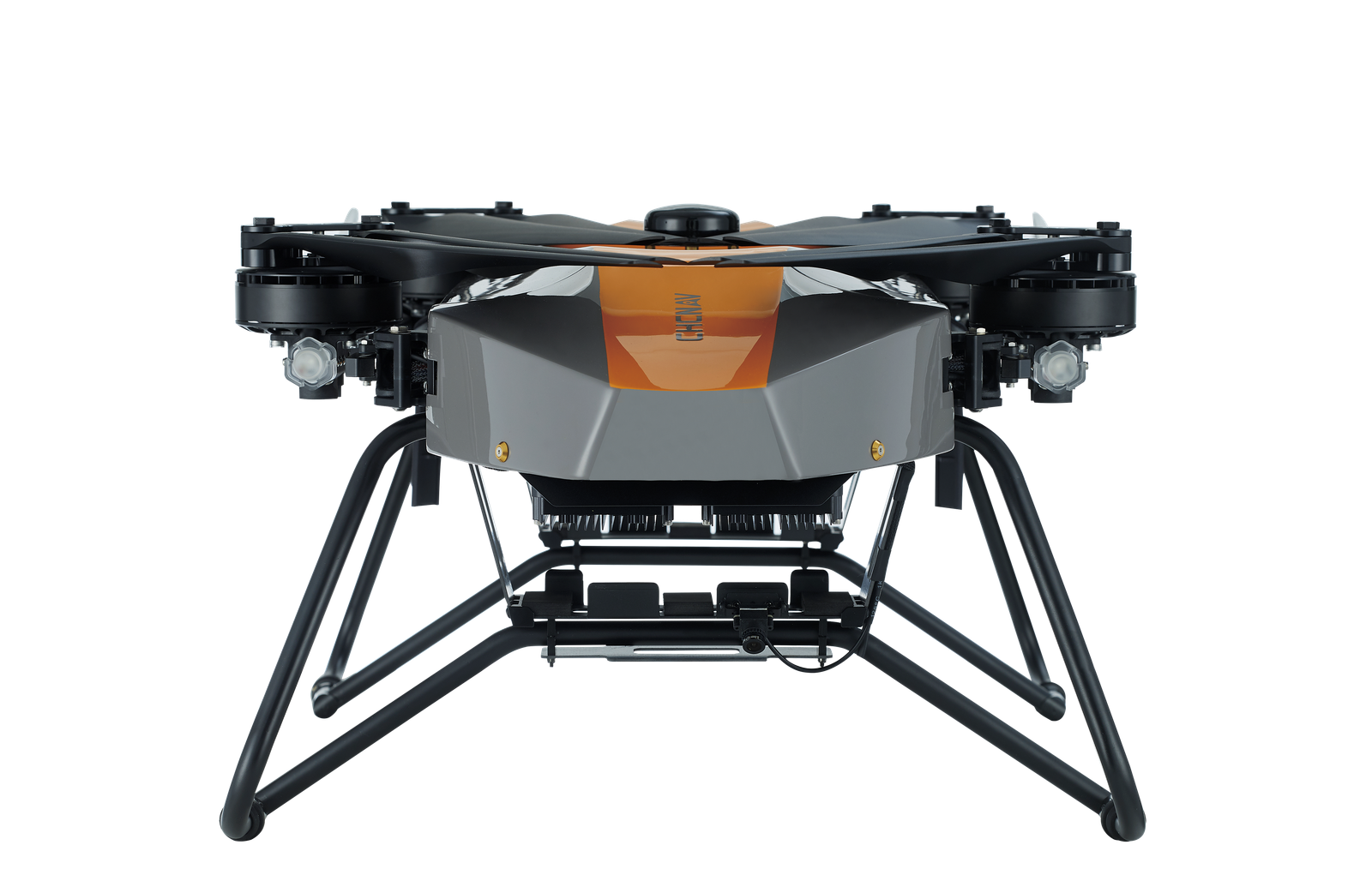
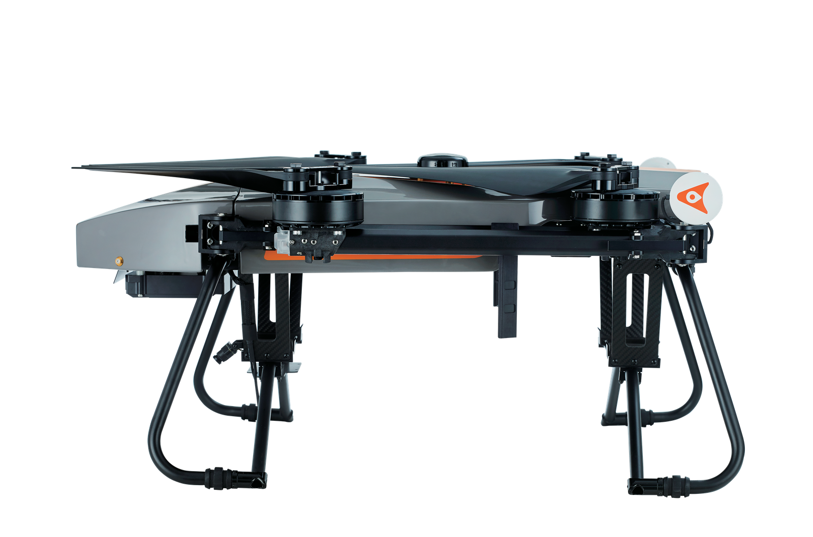
Up to 7 kg payload.
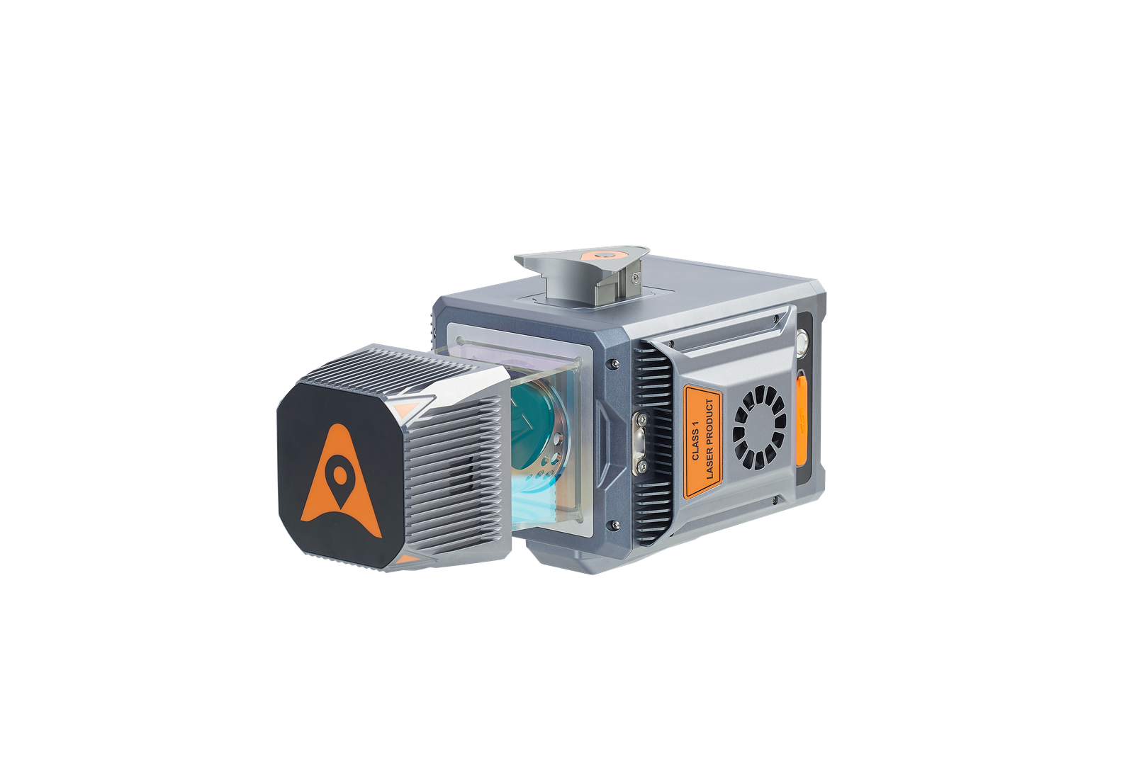
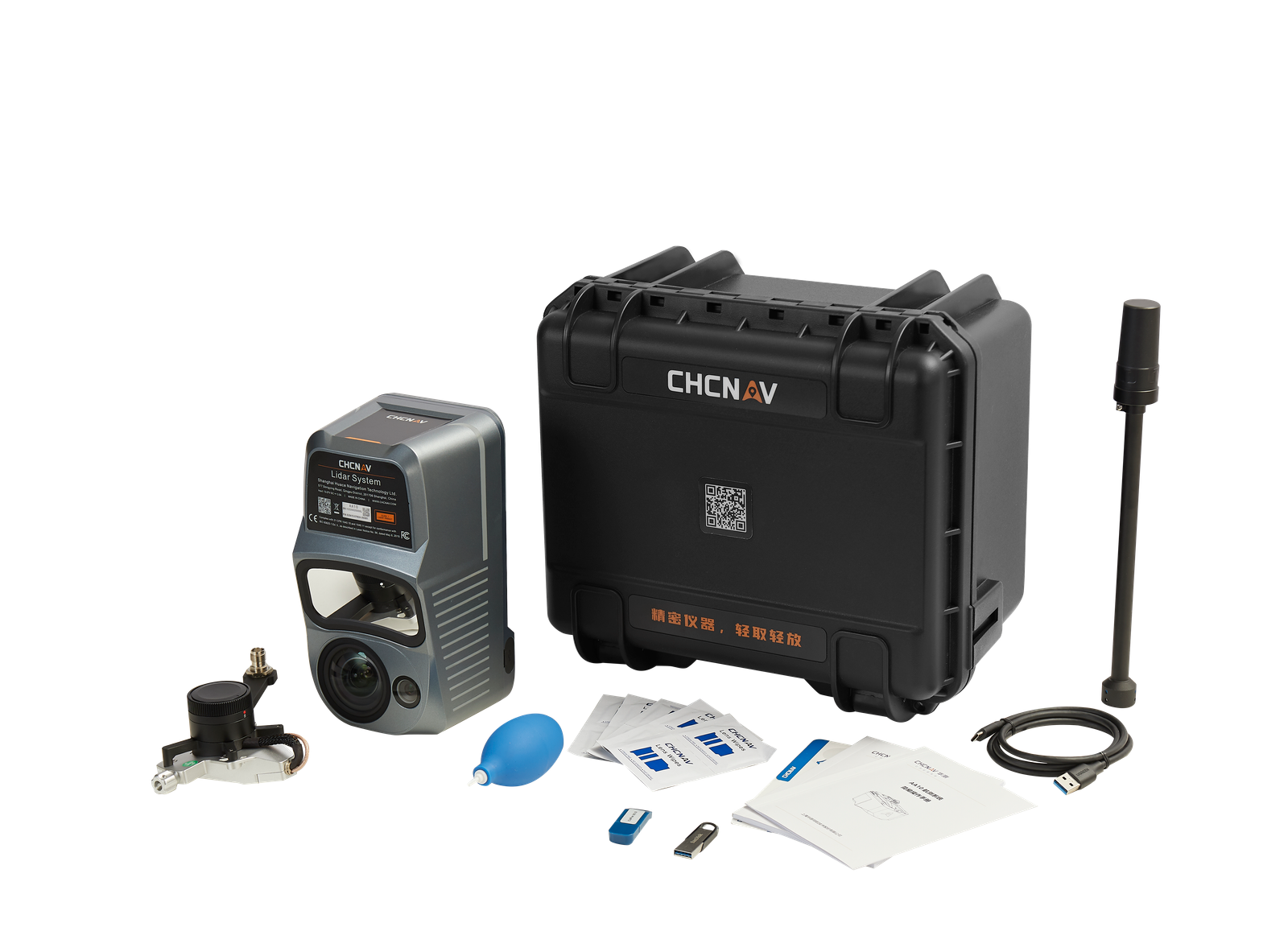
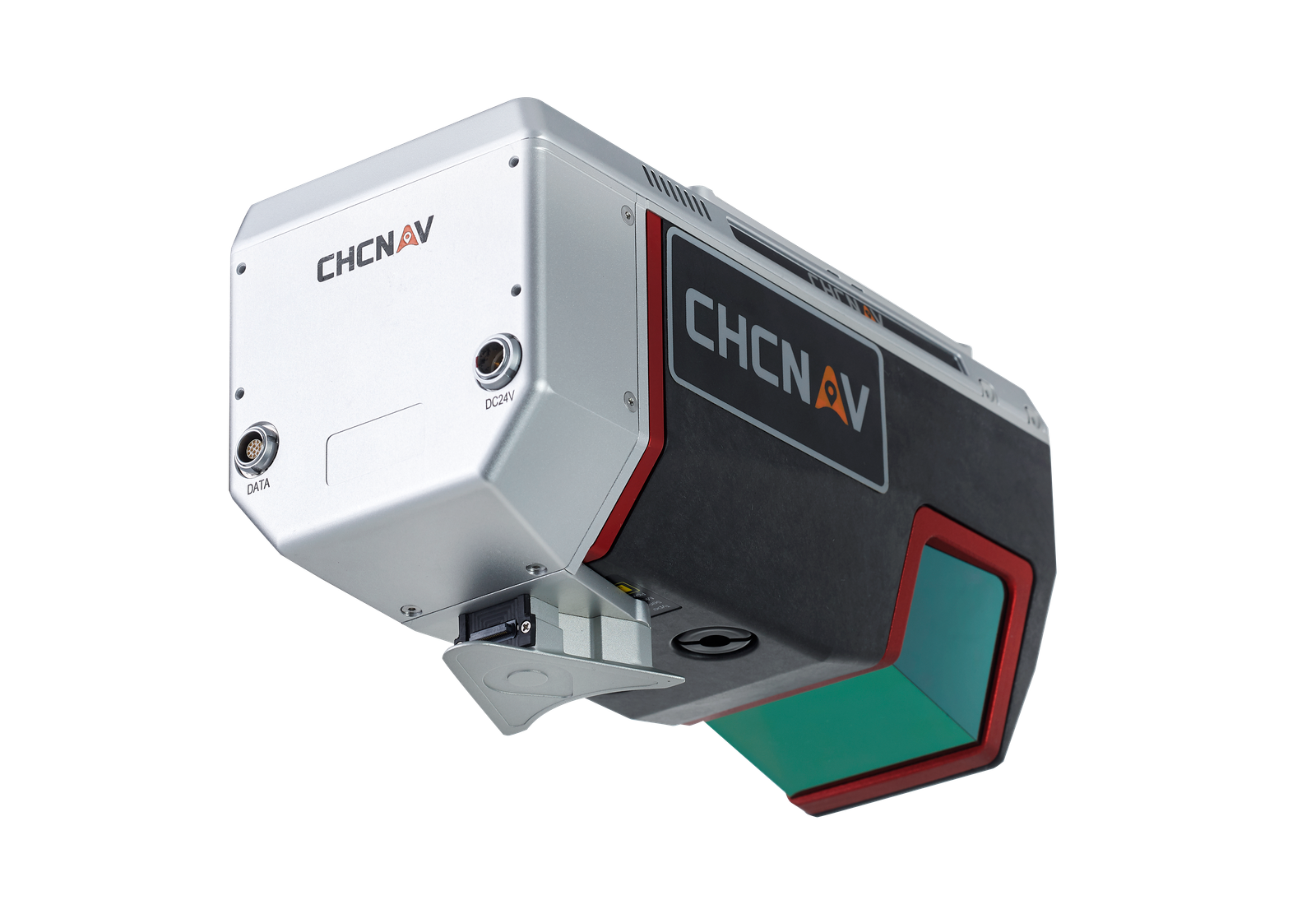
Due to its large capacity of up to 7 kg, the BB4 can be configured according to your mission needs. To generate an accurate 3D point cloud, the BB4 can carry CHCNAV scanners with DSRL cameras. 3D photogrammetry is also possible with an oblique camera system. For inspection and agriculture, users can use multi-spectral cameras.
Integrated GNSS RTK + IMU.
The BB4 integrates dual DJI A3 IMUs and GNSS units that work together with CHCNAV's advanced positioning solution, consisting of a high-end GNSS receiver and an industry leading IMU to meet the high accuracy requirements of the surveying and mapping industry.
STATE-OF-THE-ART PLATFORM
INTELLIGENT, SIMPLIFIED FLIGHT SOFTWARE
SUPERIOR FLYING
PERFORMANCE
LONG RANGE OPERATION
HIGH CAPACITY
SURVEY-GRADE ACCURACY
BB4 is a high-end unmanned aircraft system resulting from an alliance between the two industry leaders in their respective segments. Its scientific design and highly integrated production technology come from CHCNAV - a global manufacturer specialized in efficient geospatial measurement technologies - and its fully automated flight control system from DJI, the pioneer in the manufacturing of commercial UAVs.