THE BEST COST-
LiDAR
PERFORMANCE UAV
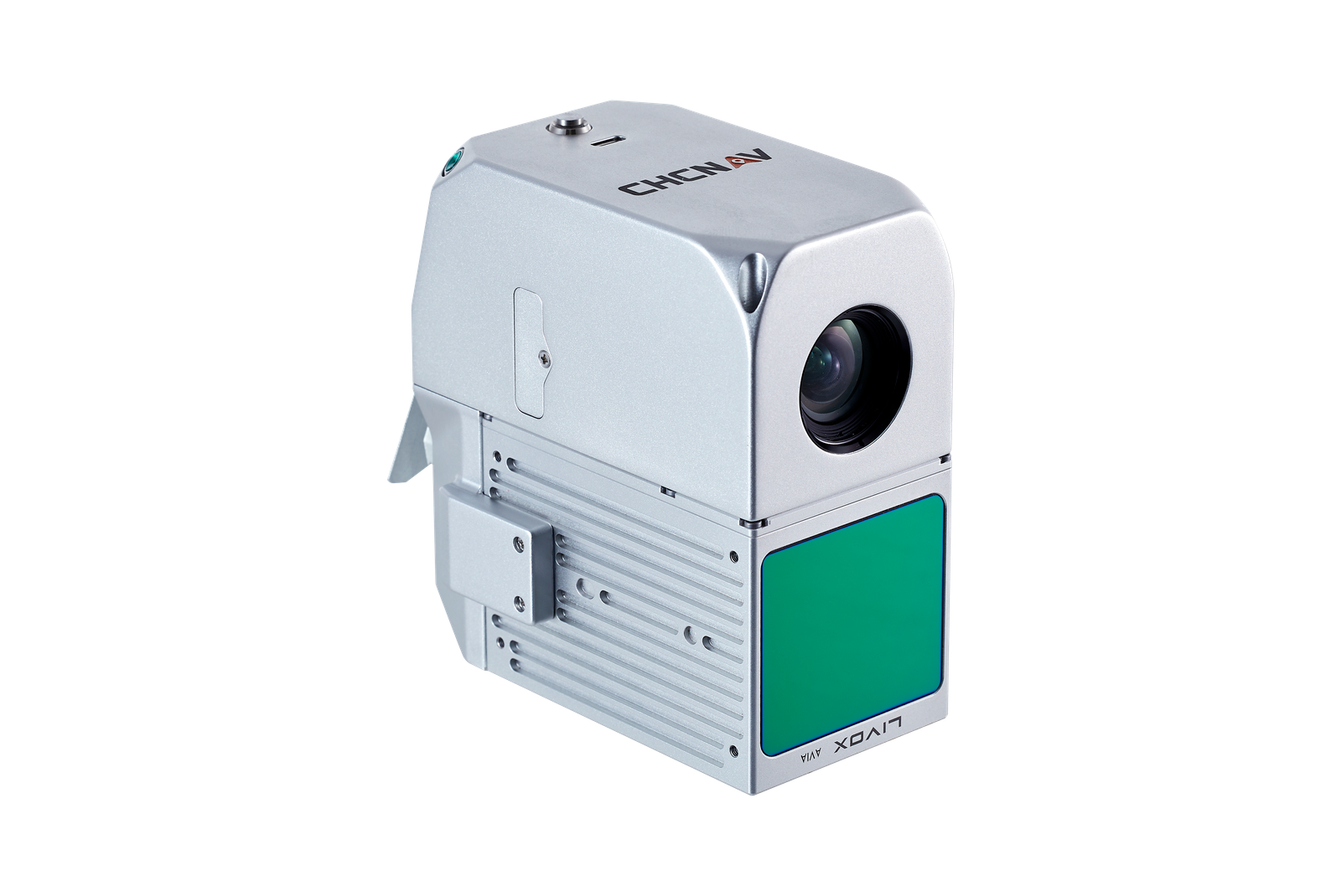
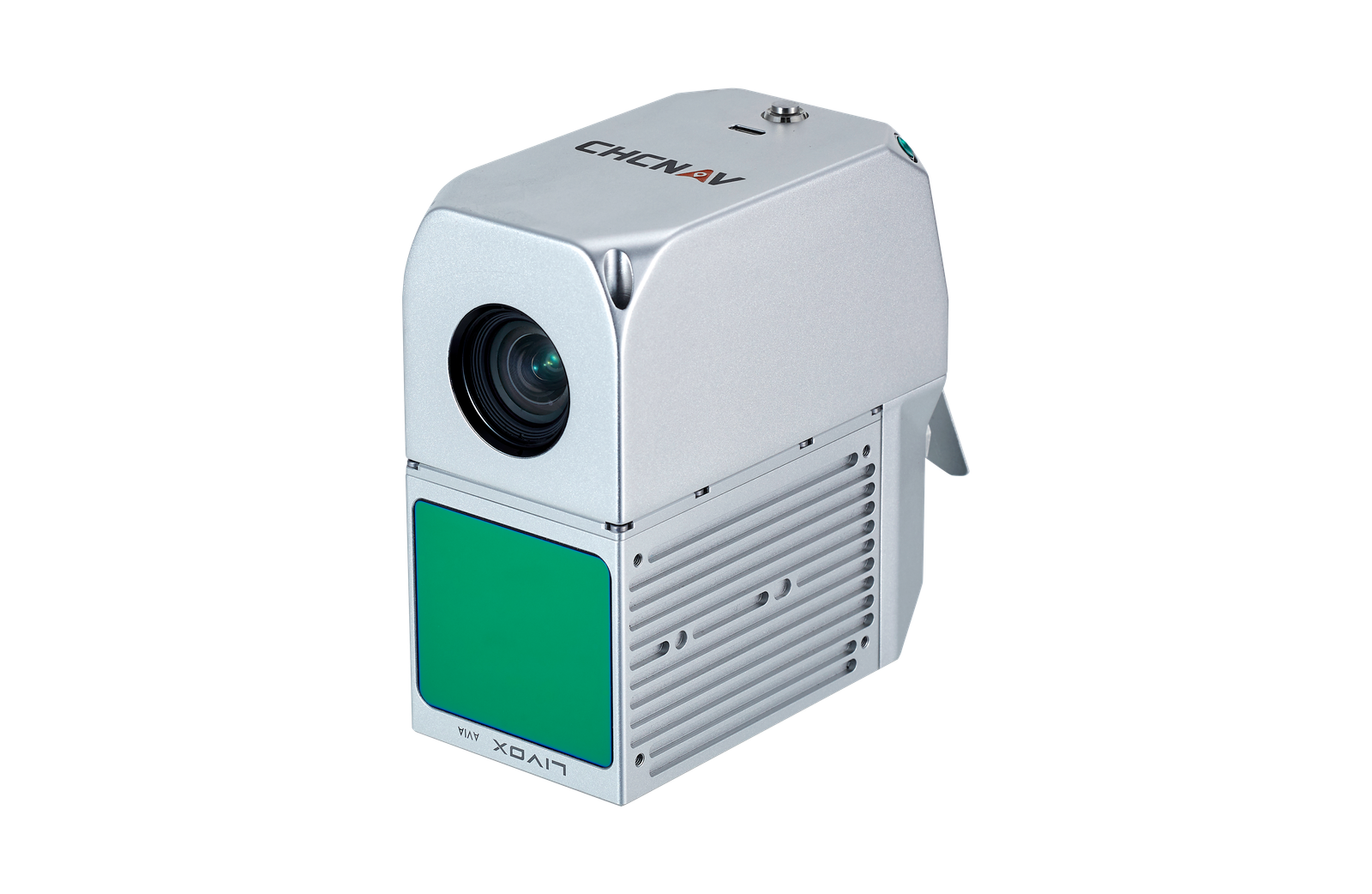
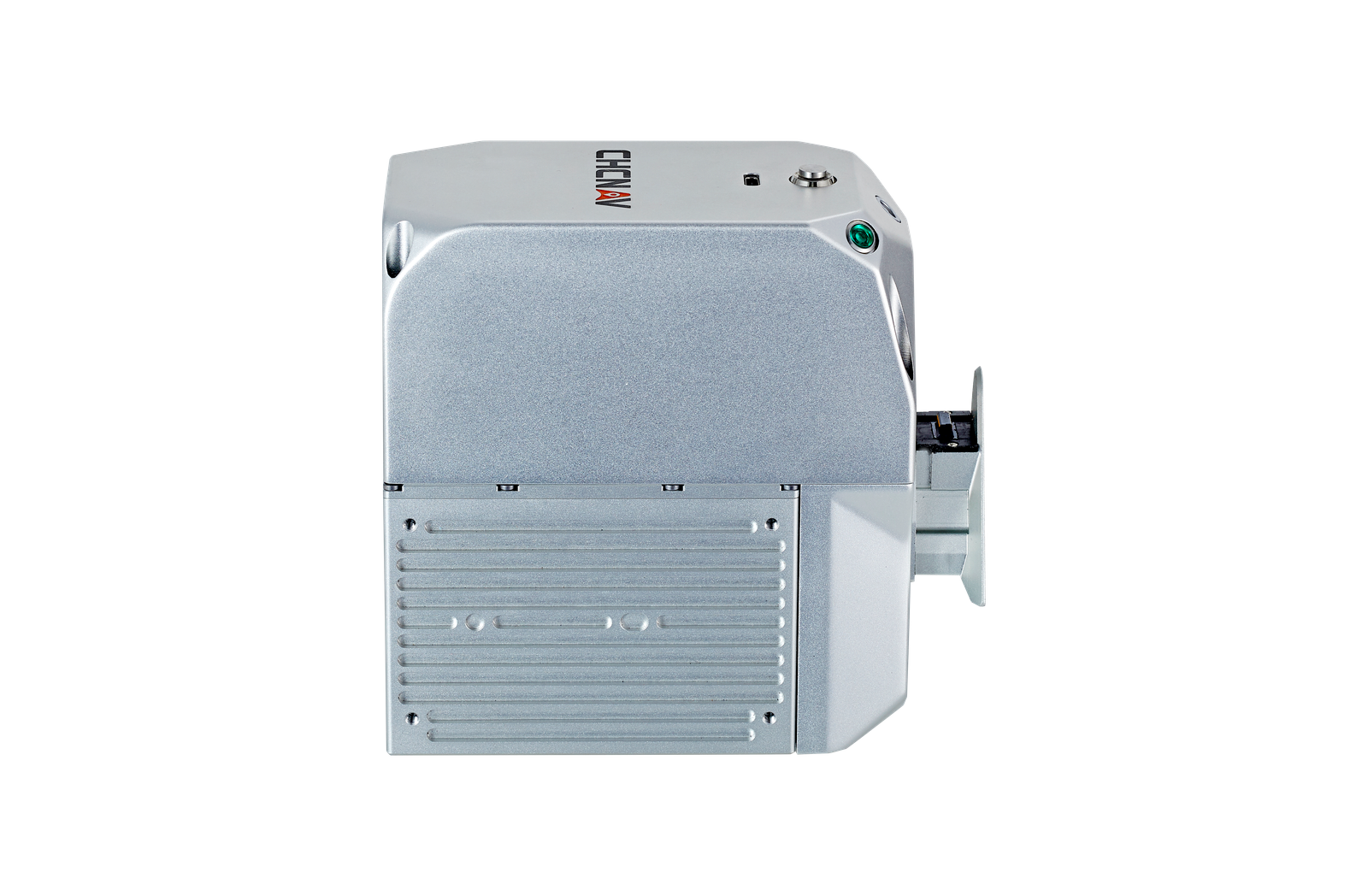
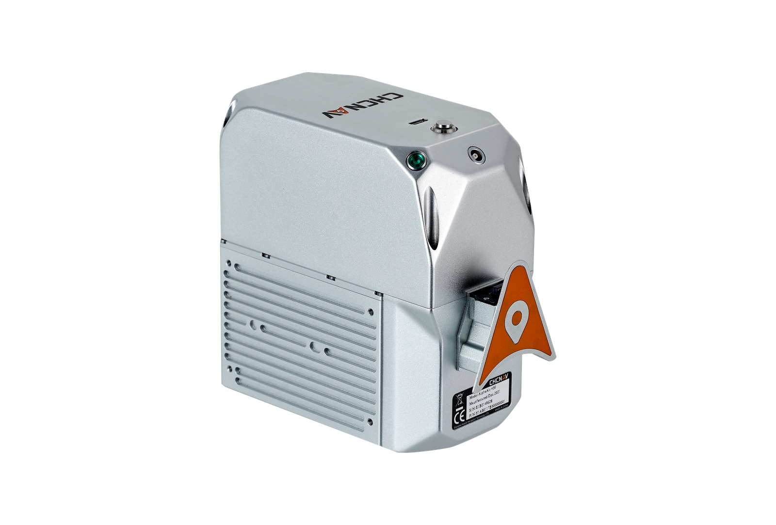
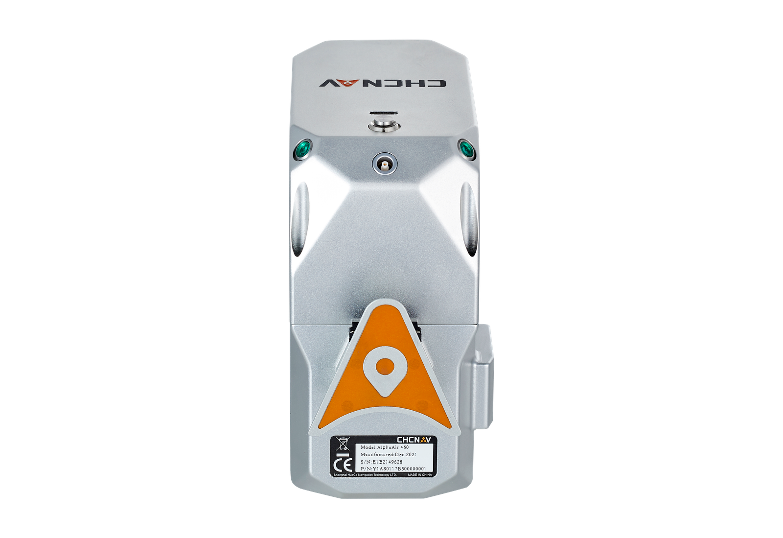
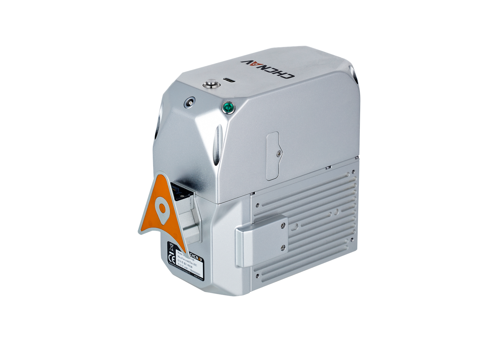
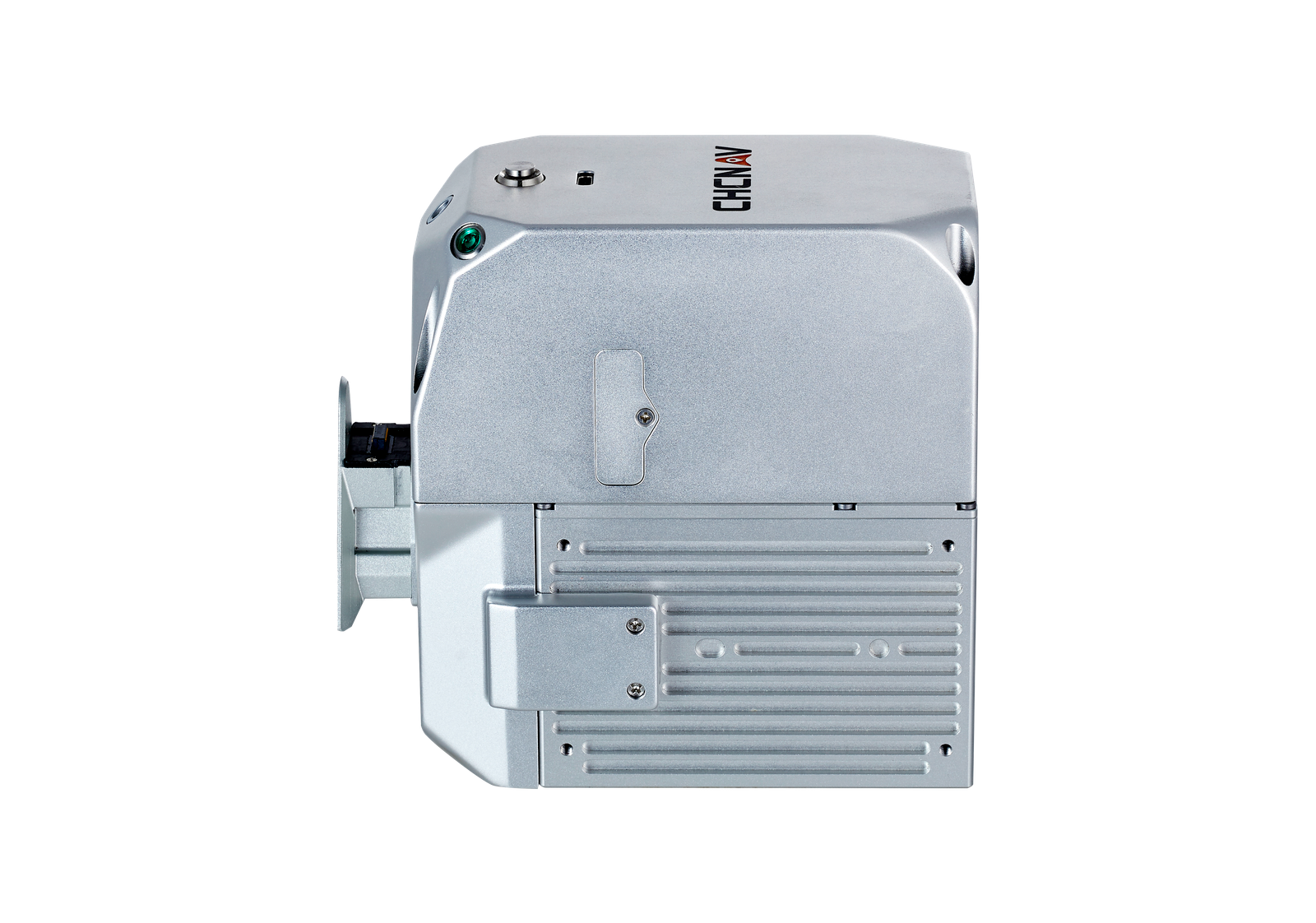
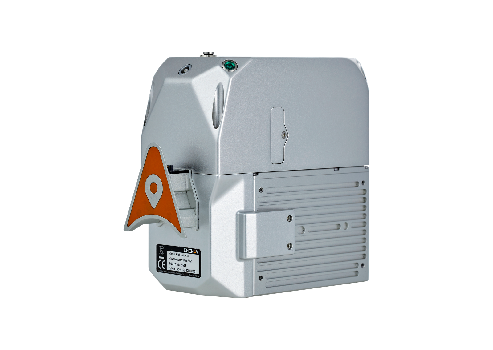
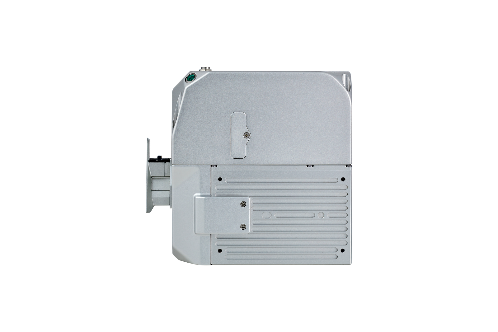
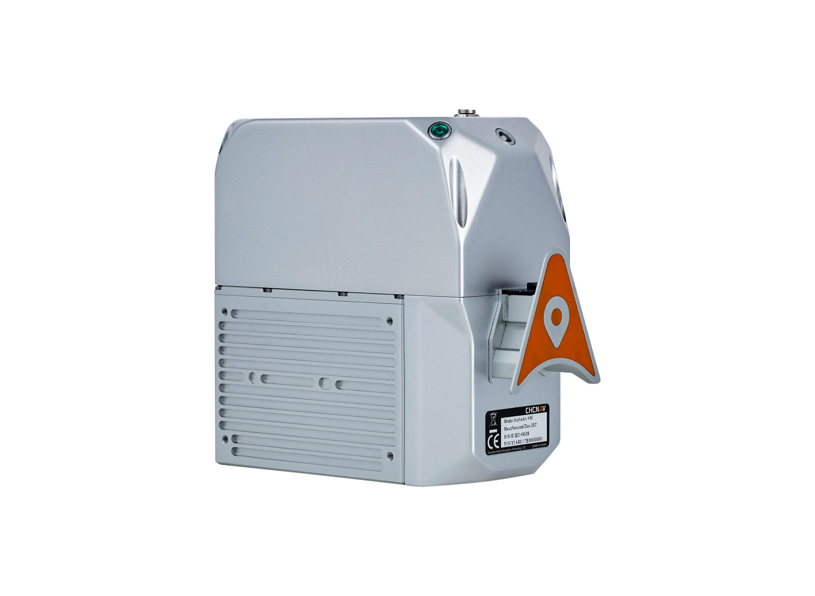
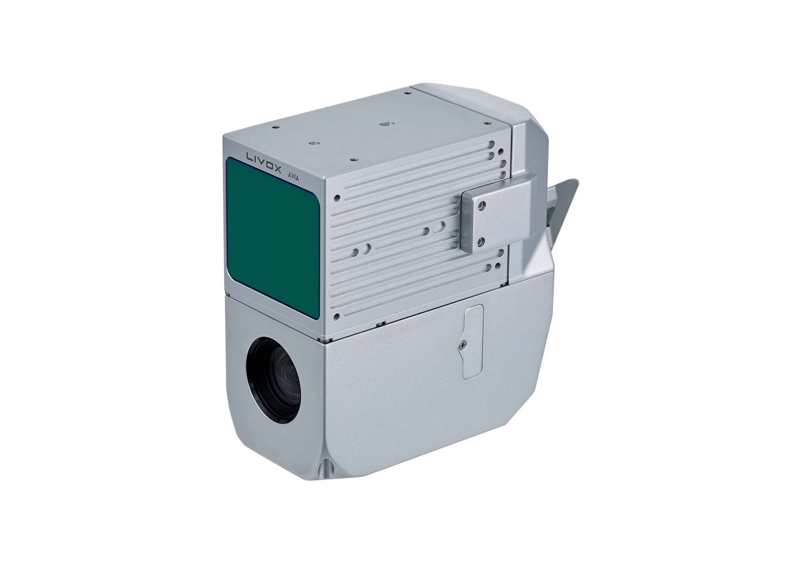
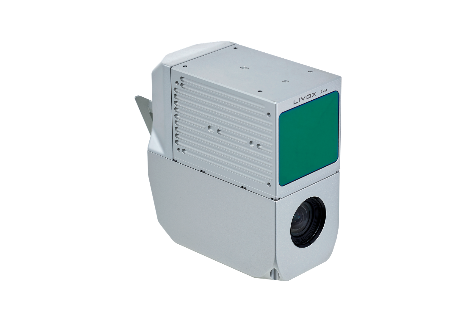
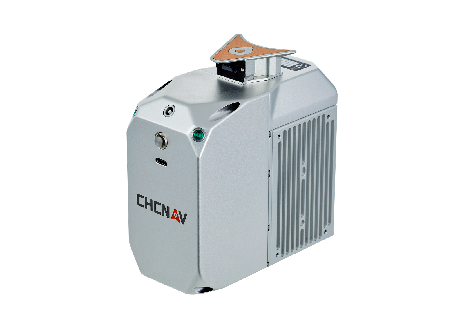
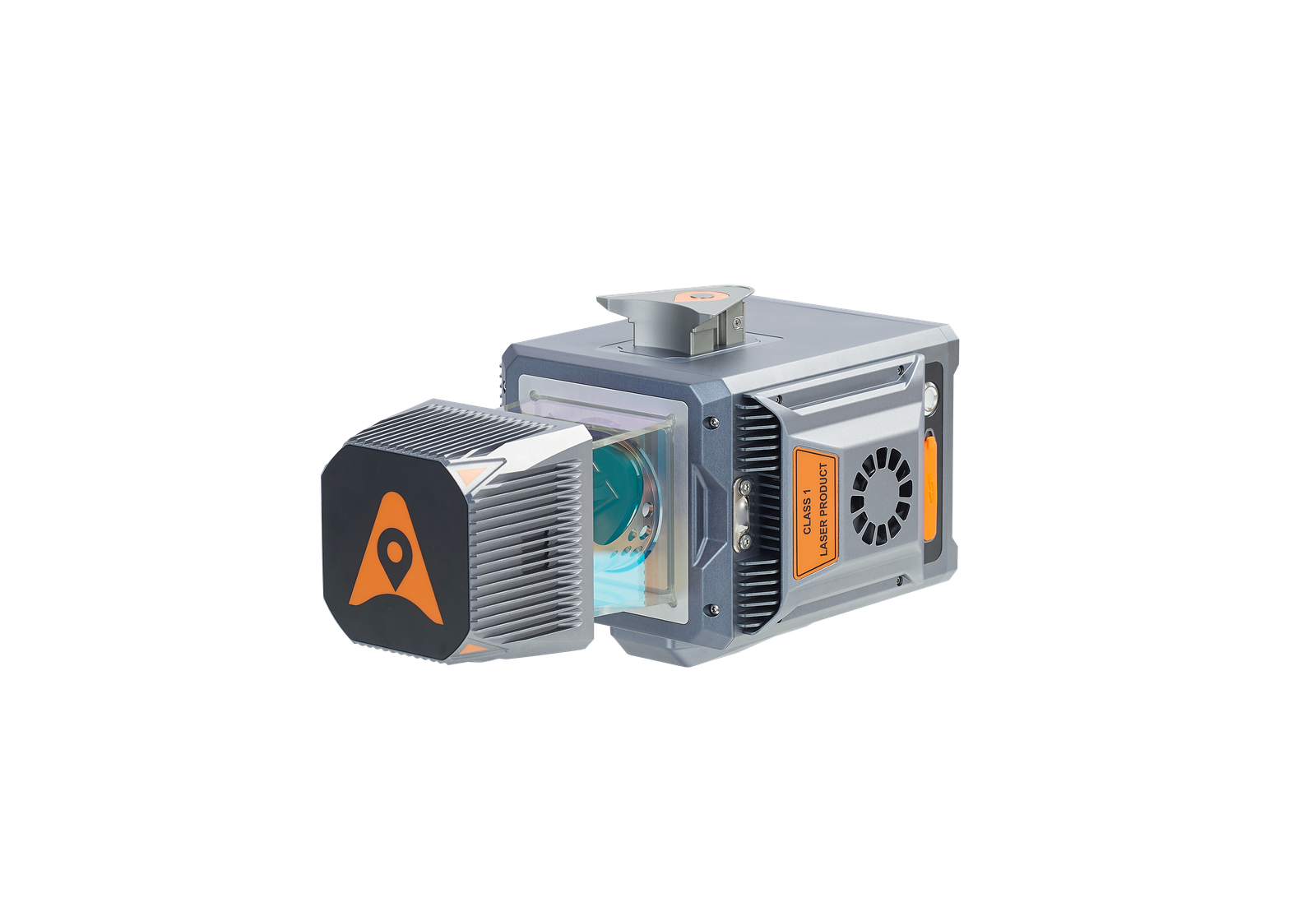
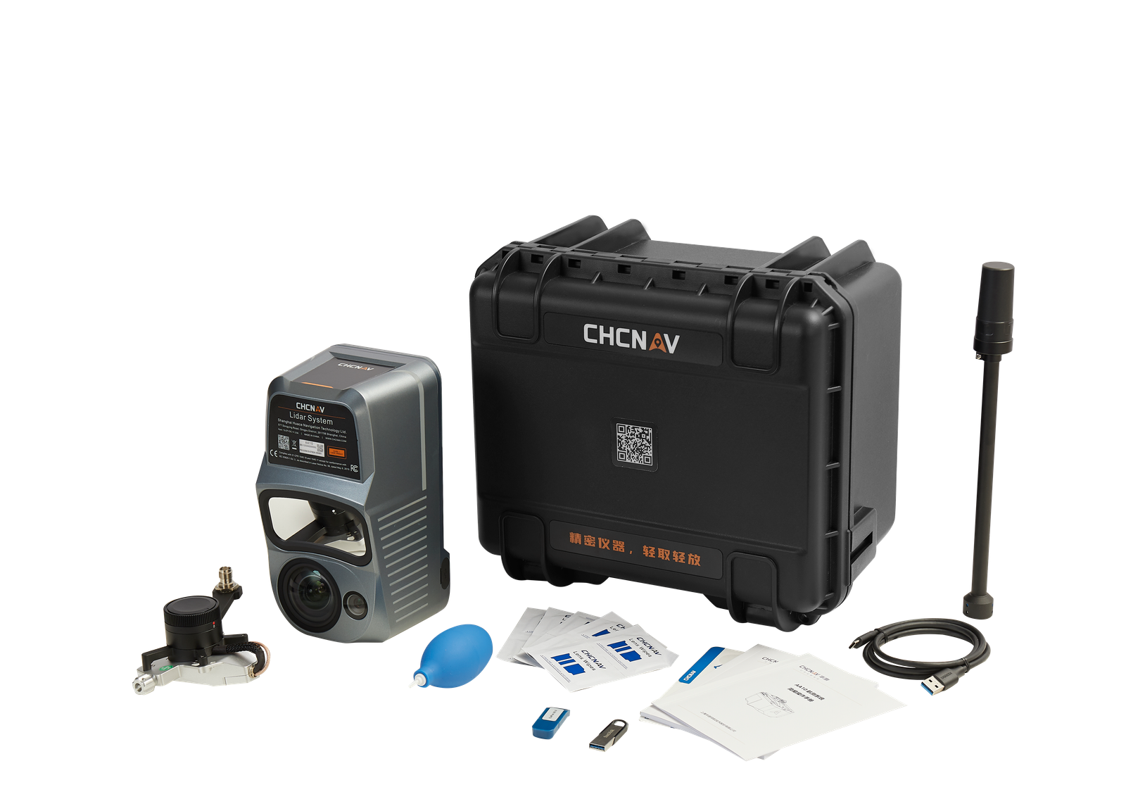
The CHCNAV AlphaAir 450 is very likely the best UAV LiDAR solution with integrated Livox Avia. The AlphaAir 450 is a major breakthrough in the democratization of mobile mapping technology, allowing its use by non-professional users in the geospatial reality capture industry and to those who have never been able to access such technology before. The AlphaAir 450 is the next generation of CHCNAV LiDAR solutions, which are widely used for power line inspection, topographic mapping, emergency response, agricultural and forestry surveys, and more. This all-in-one, lightweight and rugged system integrates a high-performance laser scanner with an industrial-grade professional 26 MP camera and a high-precision inertial navigation system for quality data collection.
CHCNAV · ALPHAAIR 450
IN CLASS
LIGHTEST UNIT IN CLASS
ADVANCED ACCURACY FLEXIBLE INTEGRATION
INDUSTRIAL RELIABILITY QUICK ROI
EFFICIENT SCANNING
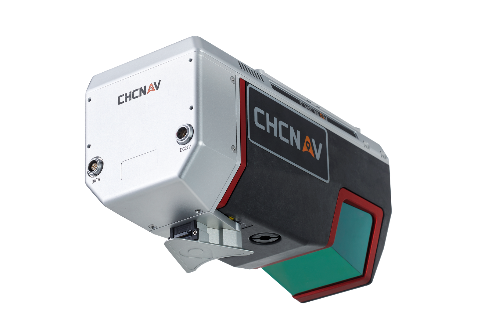
The AlphaAir is the latest UAV-based LiDAR system with Livox Avia scanner and integrated high-resolution camera launched by CHCNAV in the market. The LiDAR's weight is a constraint for any UAV. The drone needs to lift the entire payload, as otherwise no data acquisition is possible! The lighter the unit, the greater the productivity as the UAV can fly longer.
Thanks to the high-performance Livox Avia laser scanner, users will benefit from long-range scanning up to 450 m with a great points' density on the measured surface. At a flying height of 100 m and a velocity of UAV 10 m/s, a single flight with a DJI M300 and the AlphaAir 450 can collect data covering about 2 km2 area with more than 200 pts/m2 density.
The AlphaAir 450 combines industrial-grade GNSS and high-precision IMU. The high-accuracy INS is pivotal to collect high quality LiDAR data because without it, your point cloud would be nothing more than an arbitrary collection of points. This allows the AA450 to deliver an absolute accuracy of 5 to 10 cm. To further improve accuracy and precision, users can apply adjustment algorithms in the CoPre software.
The AlphaAir 450 supports a variety of UAV platforms. With its integrated Skyport, it is fully compatible with a direct connection to the DJI M300. In addition, it can easily be installed on our CHCNAV BB4, VTOL and other multi-rotor UAVs with a shock absorbing mounting platform. Alternatively, the AlphaAir 450 can also be fitted to any third-party UAV that can carry its weight: multi-rotor or fixed-wing VTOL UAVs.
AlphaAir 450 users can rely on a high level of protection (IP64) and extended operating temperature performance (down to -20°C and up to +50°C) in any field environment, as one never knows what the weather or site conditions will be like the day of the survey mission.
The AlphaAir 450 is a worldwide breakthrough in the democratization of 3D mobile mapping technology. It means that it addresses not only UAV LiDAR survey experts, but also users who had no access to this technology before, due to high investments and complicated workflow, which is not the case with the AA450.